7/18
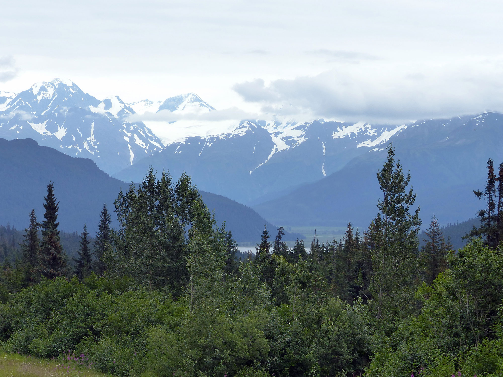
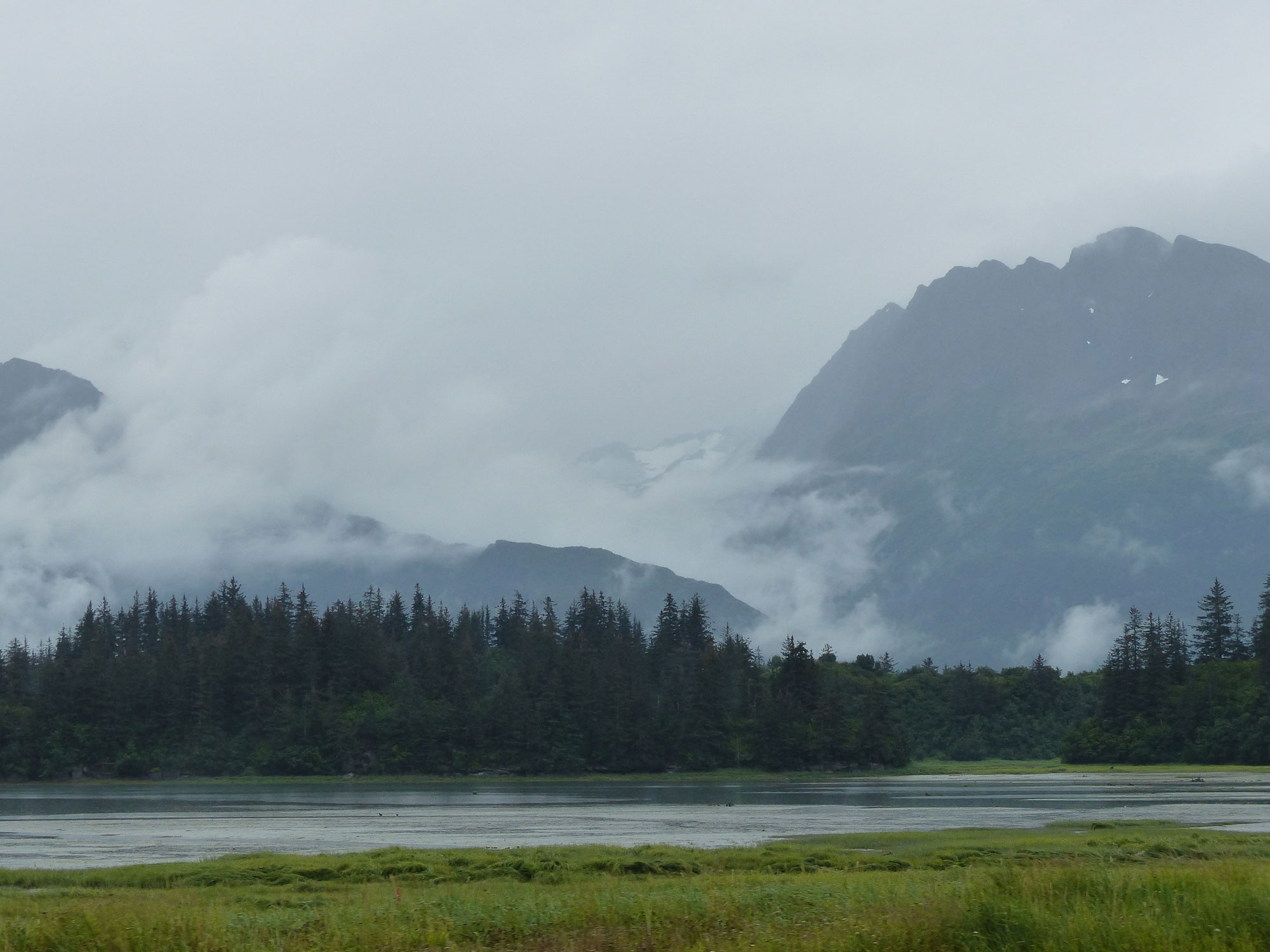
View of Kenai Mountains along Sterling Hwy
Drove back down the Spur Hwy and then backtracked along the Sterling and Seward Hwys to Anchorage and the Centennial campground.
View of Kenai Mountains along Sterling Hwy
Drove back down the Spur Hwy and then backtracked along the Sterling and Seward Hwys to Anchorage and the Centennial campground.

Alyeska Tramway
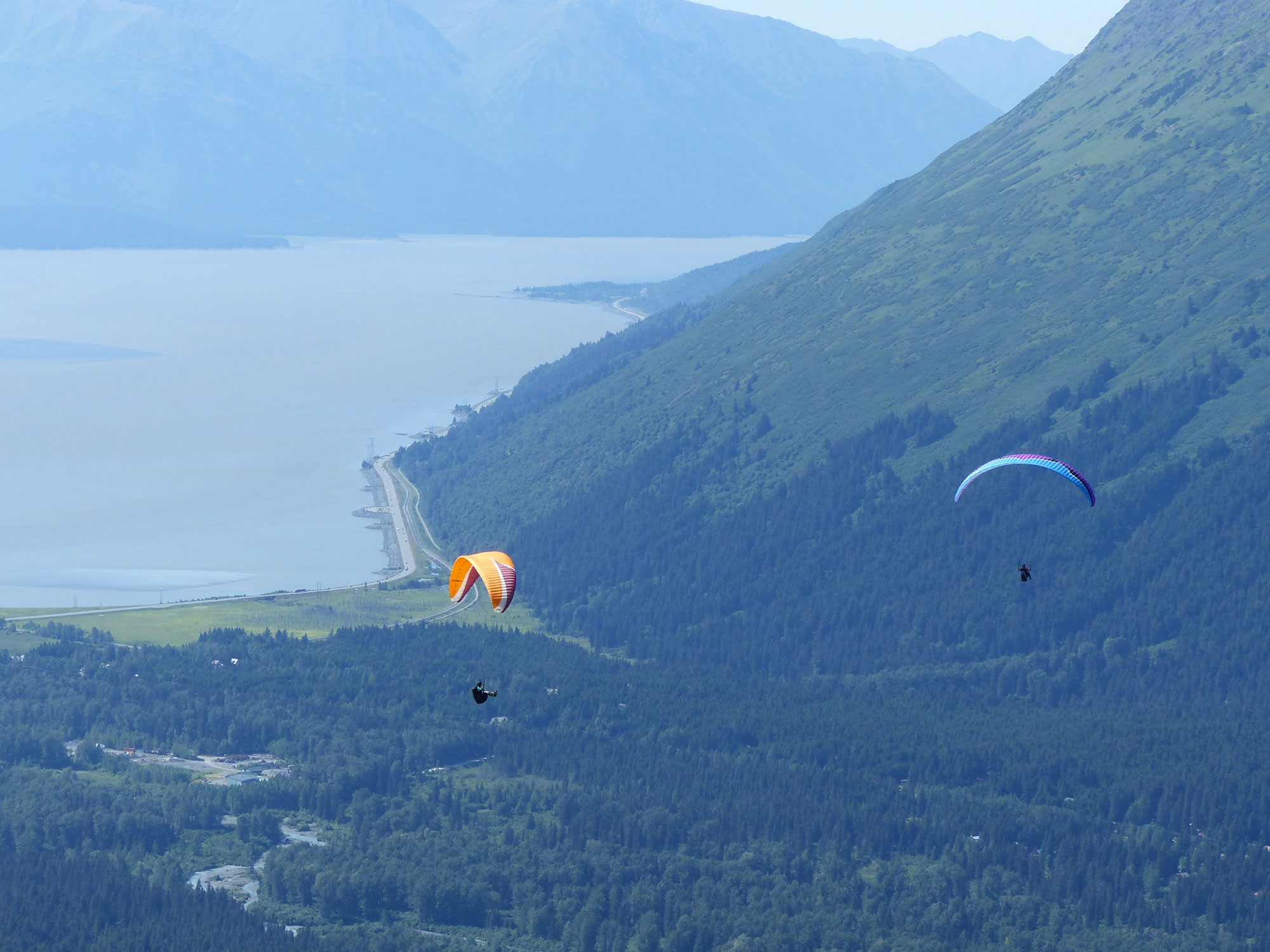
Paragliders
The next day, since it was nice and sunny, we dropped the camper and drove to Alyeska mountain to ride the Tramway. It turns out that the mountain is a paragliding hotspot and we watched pilots jumping off and gliding away – looks like fun, I’d love to try it.
On the way back we stopped at Potter Marsh, a 500 acre fresh water wetland which was accidently created in 1917 during the construction of the Alaska Railroad when a railroad embankment dammed several creeks. The marsh is part of the 35000 acre Anchorage Costal Wildlife Refuge.
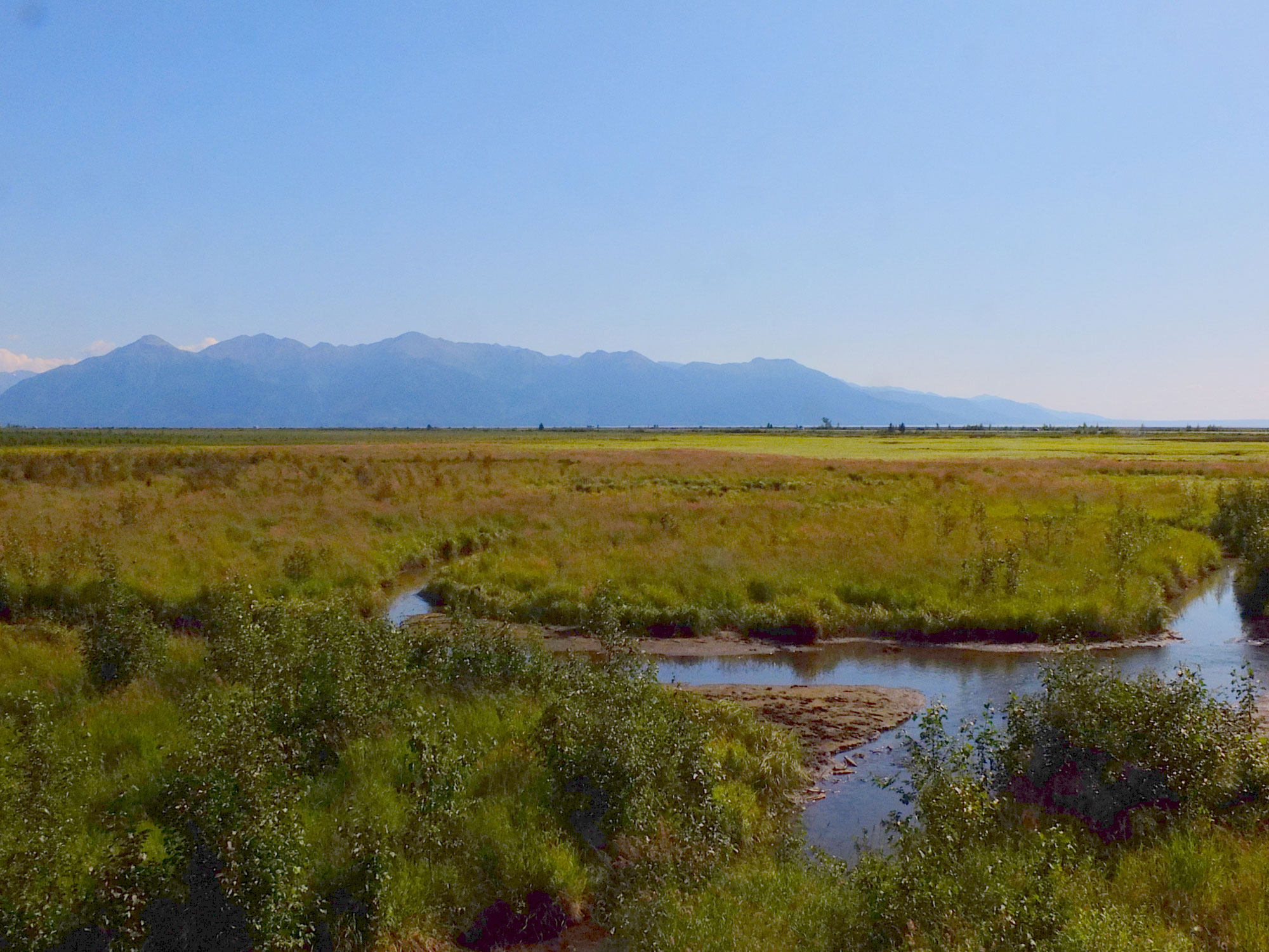
Potter Marsh
7/21

Flatop Mountain Spruce
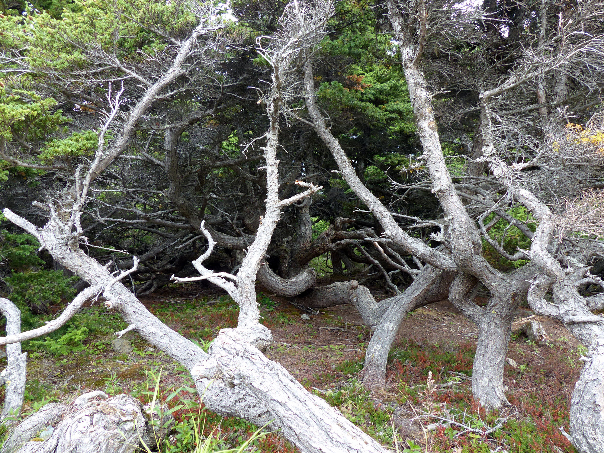
More Flatop Mountain Spruce
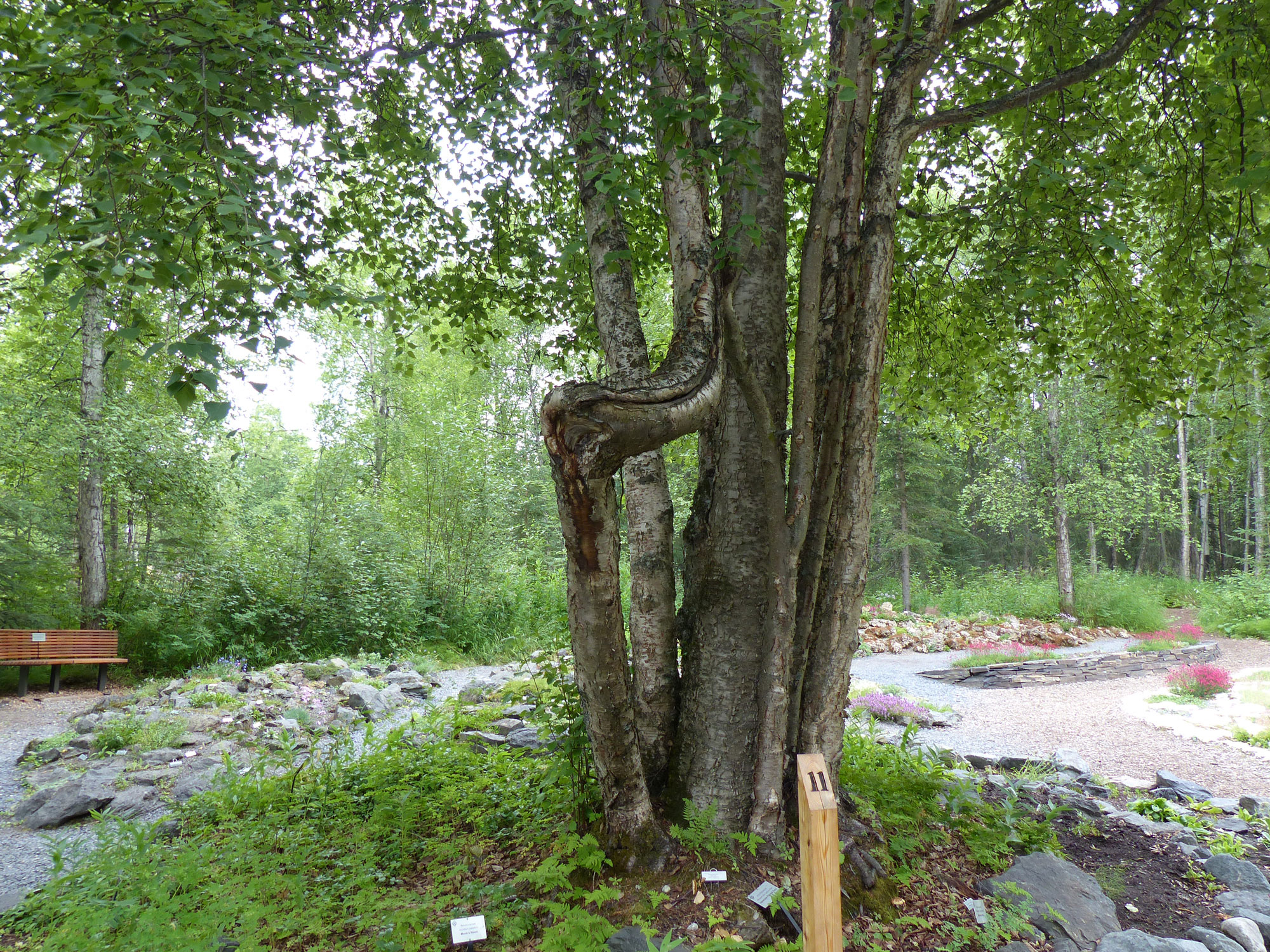
A rather overcast day but good for going to Flatop Mountain and hiking a trail or two. Many of the spruce trees are quite misshapened by the fierce winds that sometimes buffet the mountain and look like beautifully grotesque caricatures from a nightmare. Afterwards we walked through the Anchorage Botanical Gardens, a different type of beauty and very nice.

Painted Tongue, Anchorage Botanical Gardens

Masterwort, Anchorage Botanical Gardens
Dena’ina Trail Marker, Anchorage Botanical Gardens
7/22
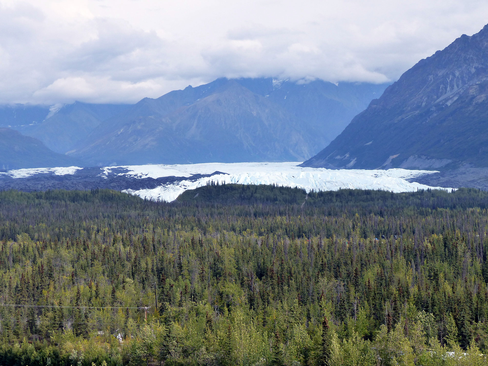
Matanuska Glacier
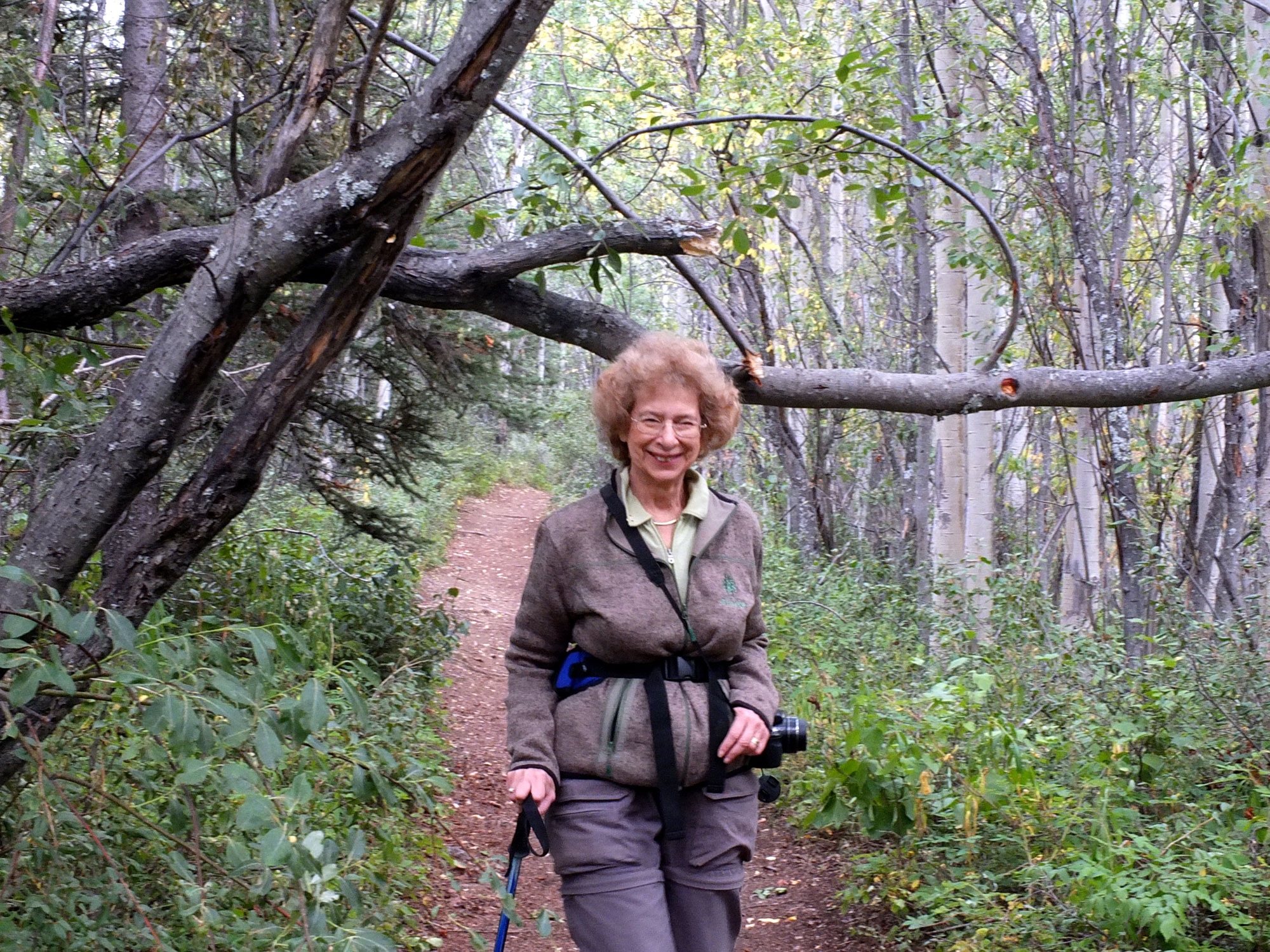
Arlyne on hiking trail
Another gray, cool day; started towards Valdez along the Glenn Hwy (Rt 1). Detoured onto a side road to Seventeenmile Lake, a rather pretty and isolated lake where I enjoyed fishing for grayling, caught and released several small ones. Stopped at Matanuska Glacier SRA and hiked a short distance to a viewing stand to see the Glacier, a pretty sight. Decided to camp at the State Recreation Area campground, very small (9 sites) but nicely set up.
7/23
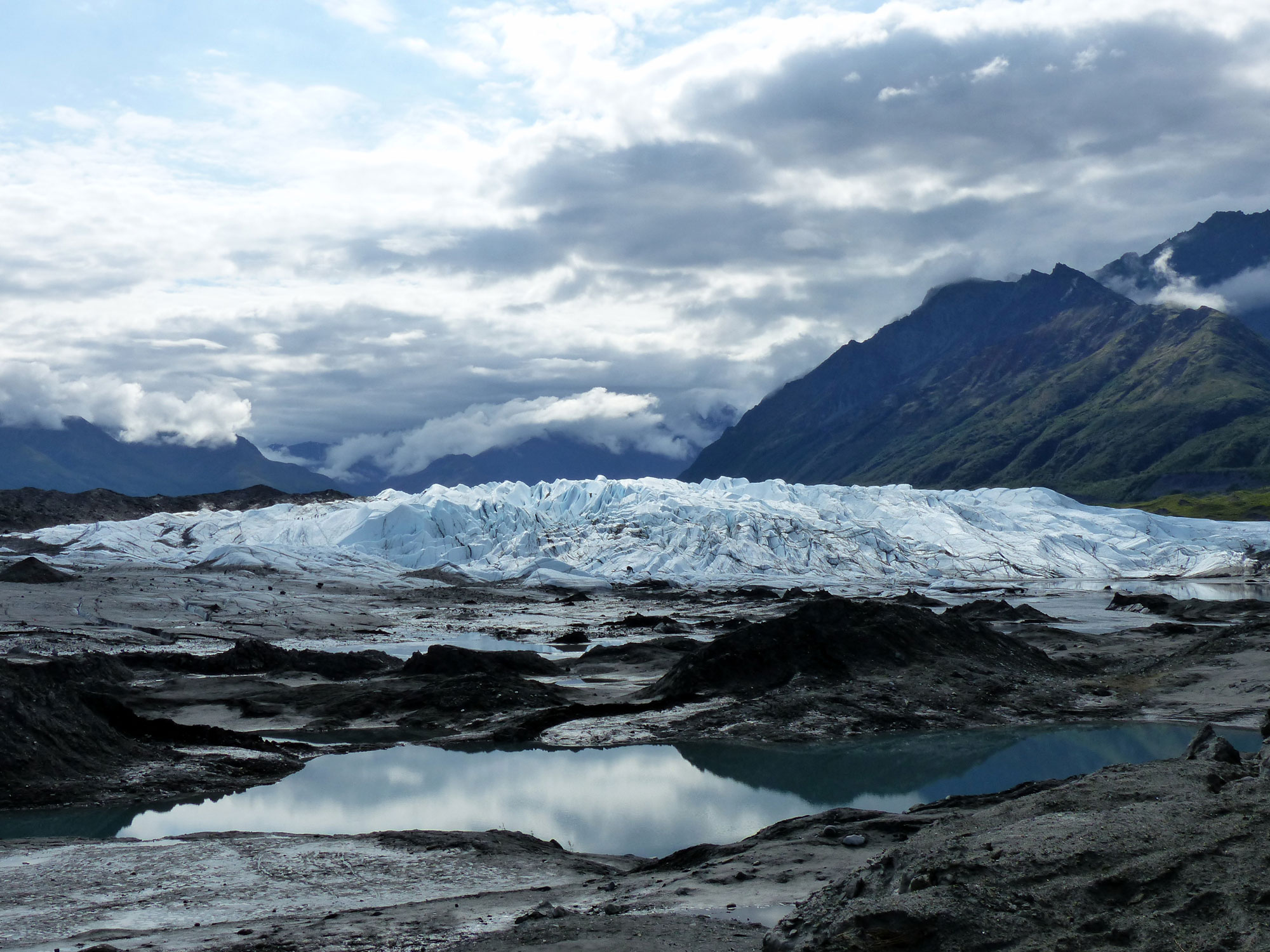
Muddy Matanuska Glacier
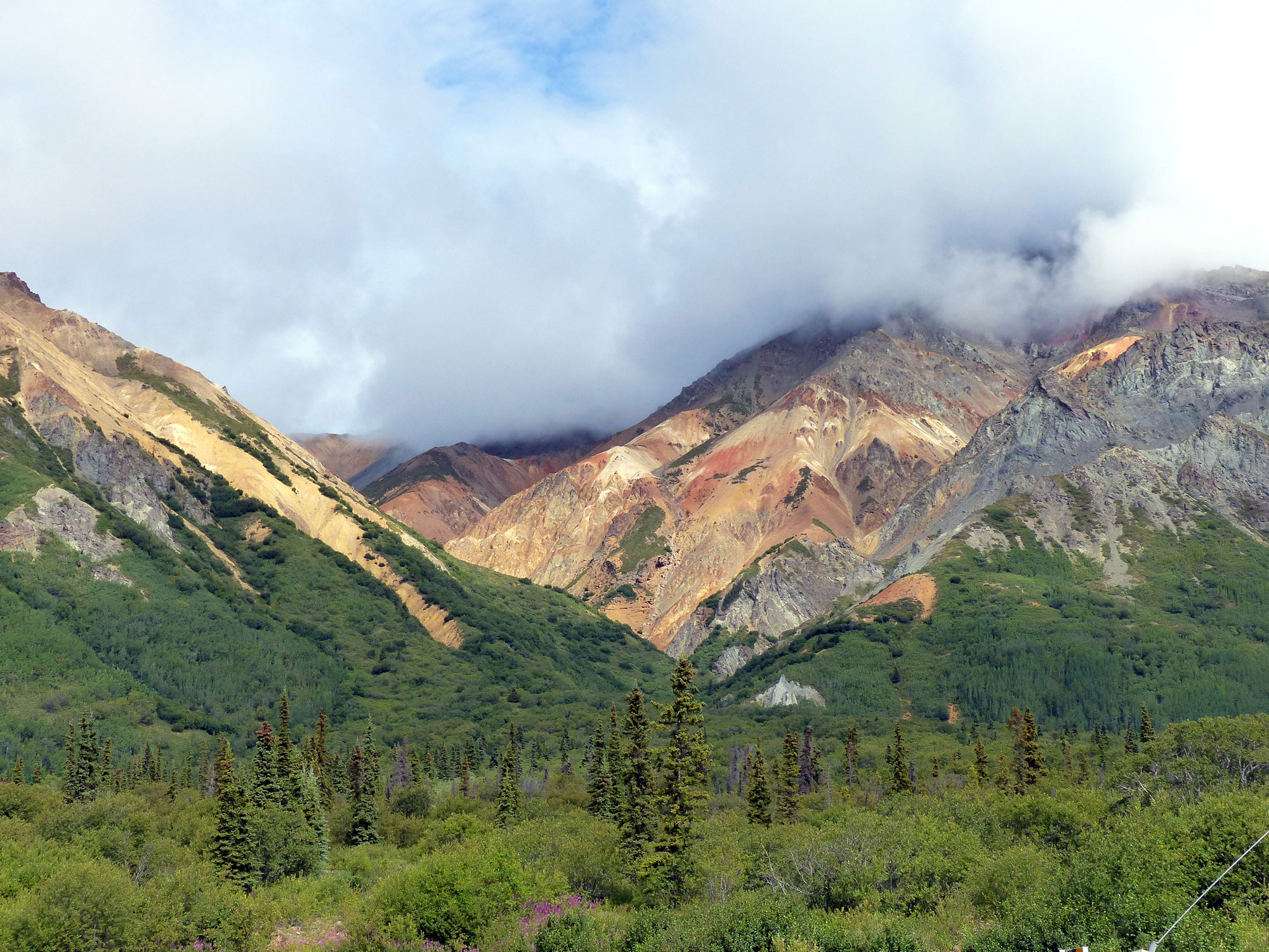
Rt 1 near Sheep Mountain – Gypsum colored with iron oxide
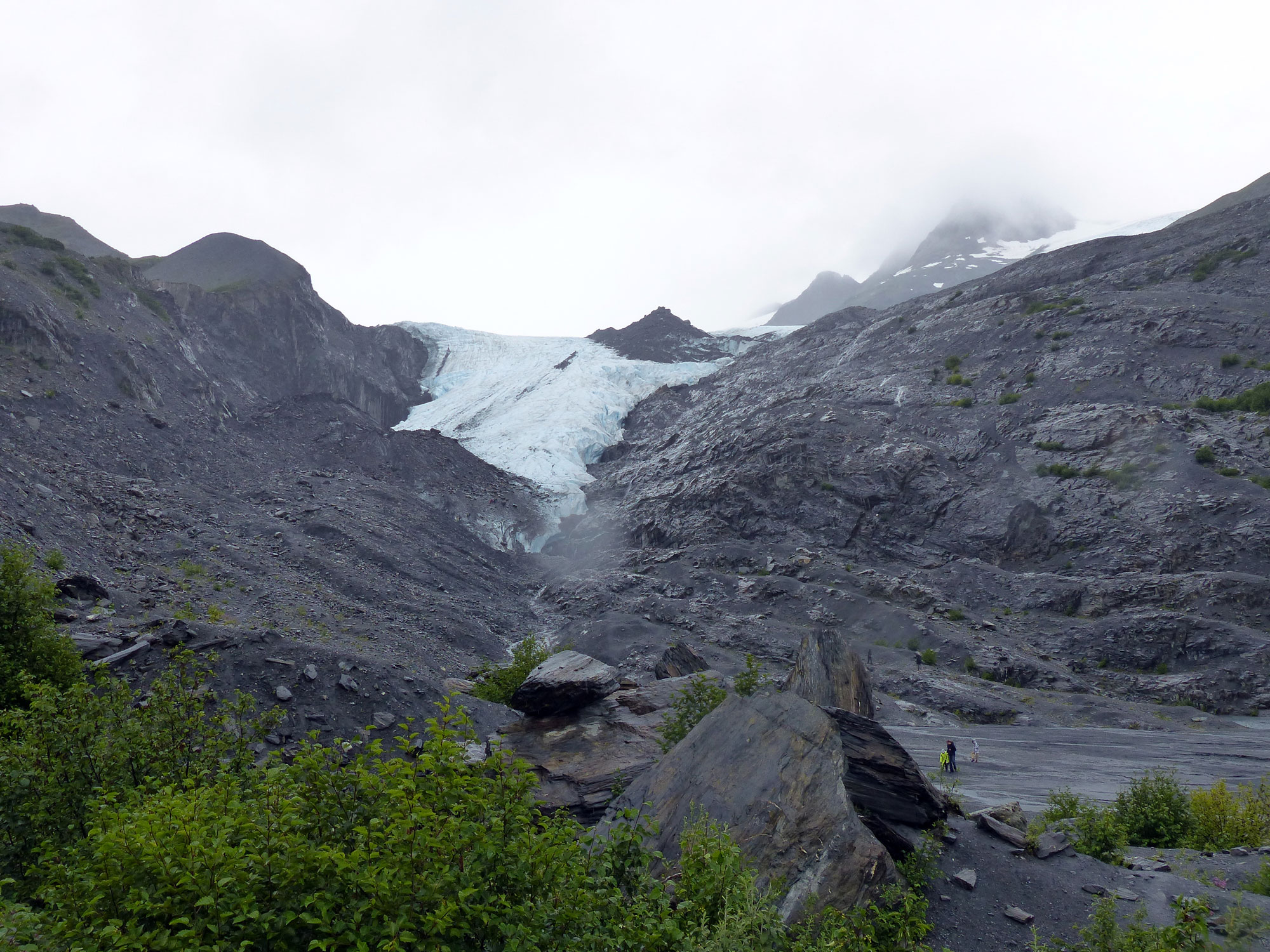
Hiked to the Matanuska glacier; it’s amazing how dirty and messy glaciers really due to the huge amounts of ground rock which covers everything at the base in a muddy coat . Continued on Glenn Hwy (Rt 1) and onto Richardson Hwy (Rt 4) to Valdez.
The scenery is spectacular, especially from Thompson Pass and the Worthington Glacier to Valdez . Camped at Bear Paw RV Park in Valdez

Mt Drum
7/24 – 7/25
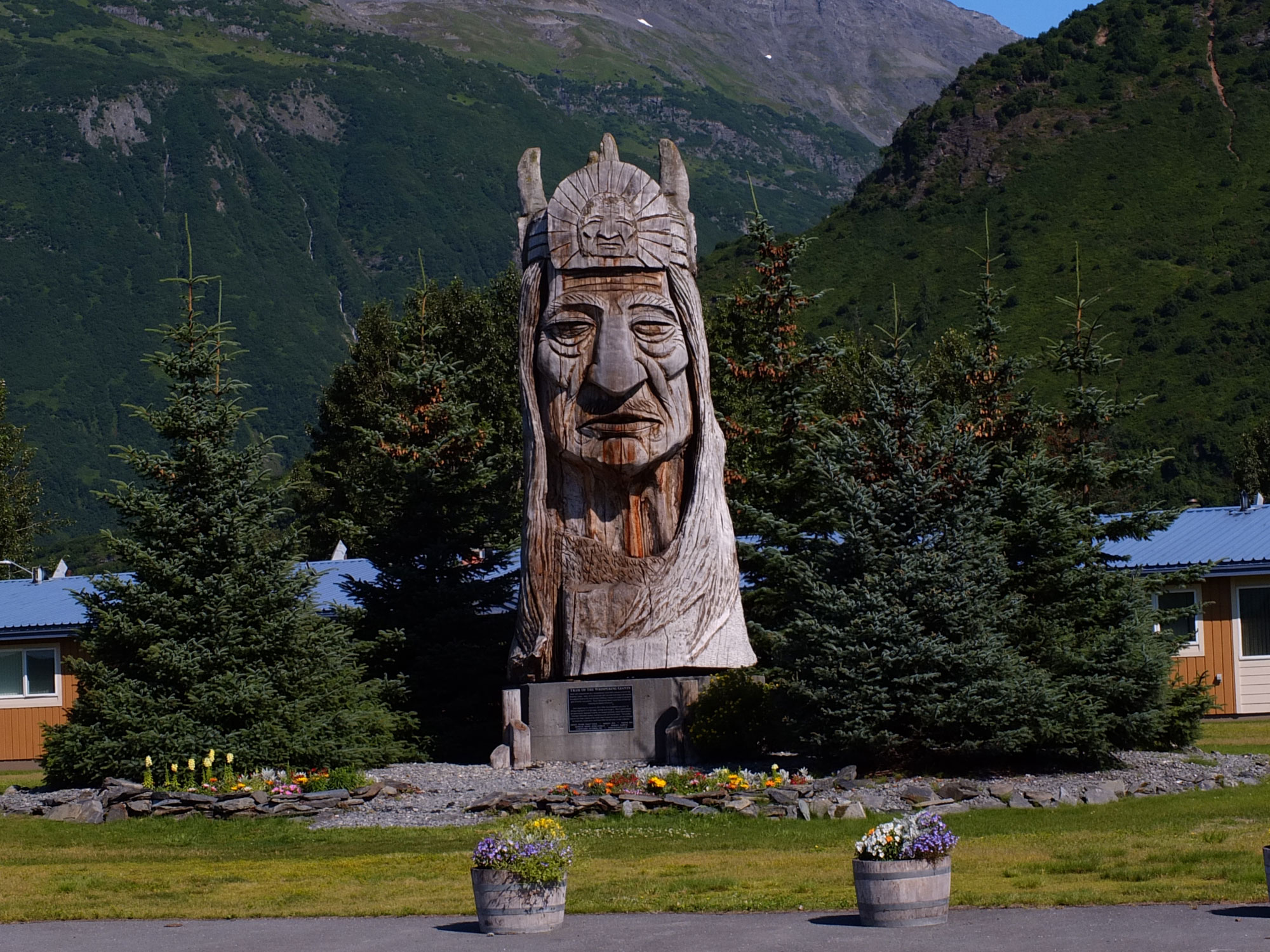
Indian Statue # 40 by Peter Toth
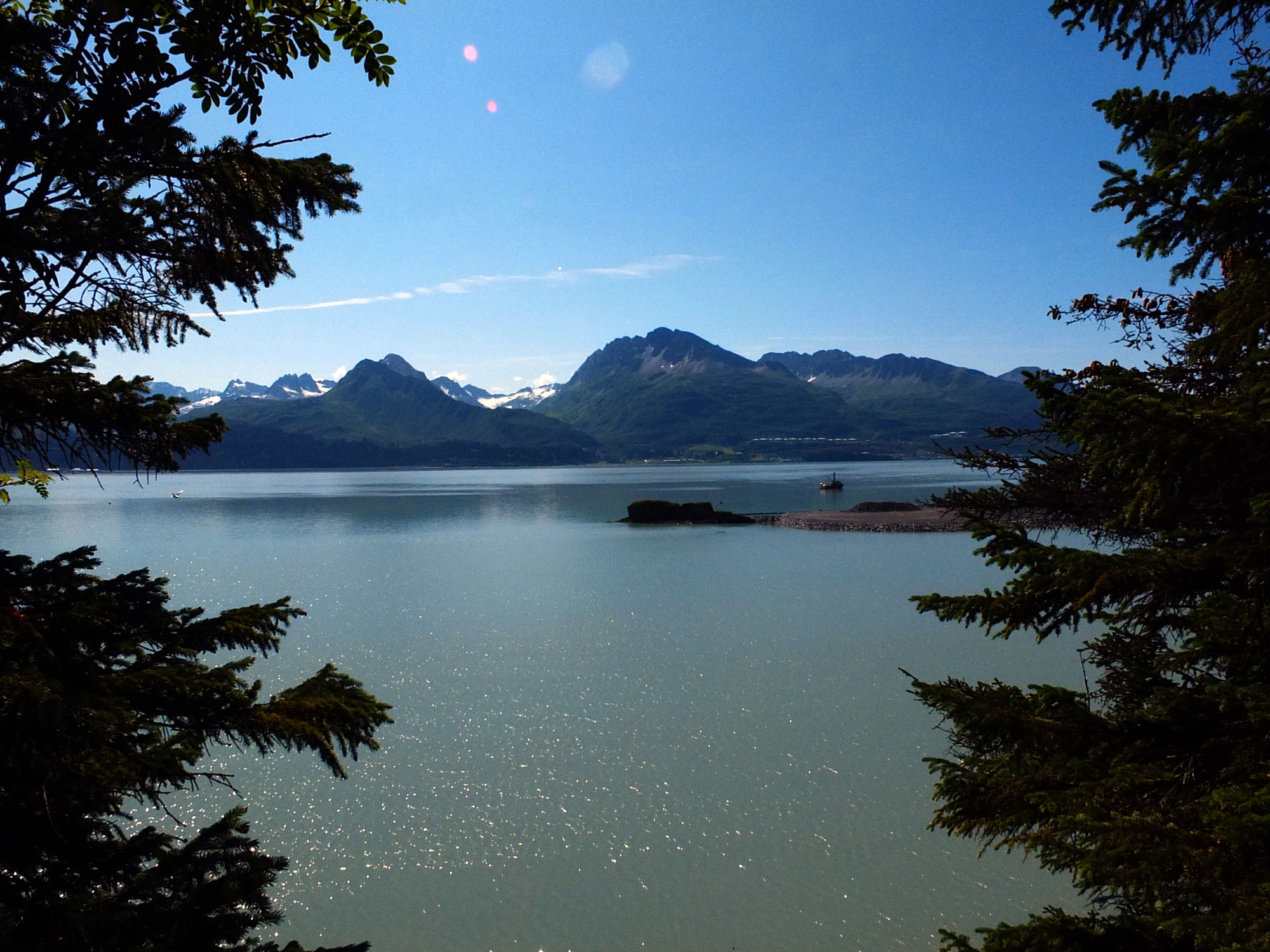
Valdez Harbor from Dock Point Park
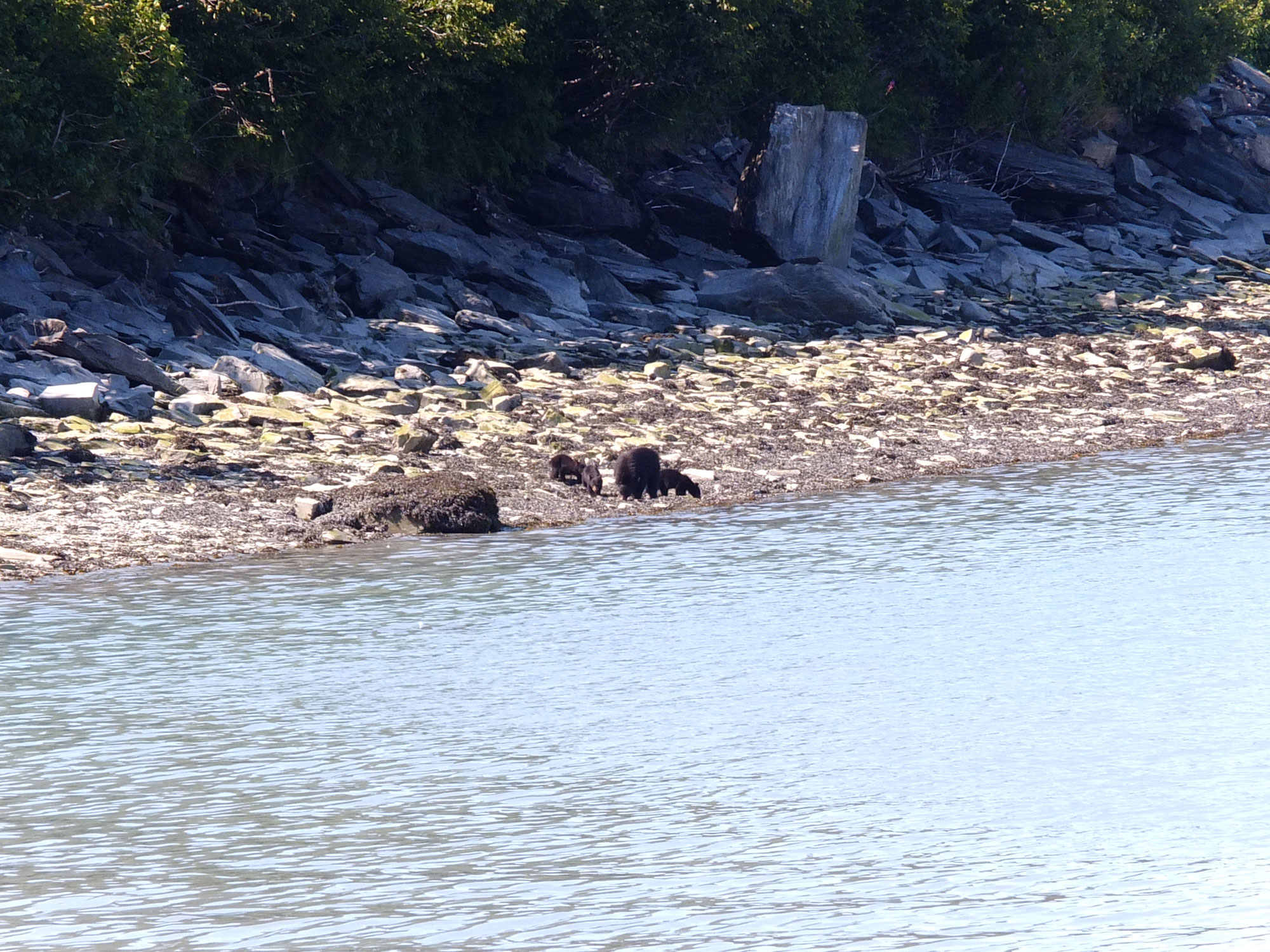
Spent most of the time salmon fishing and loaded the freezer with about 30 lbs of scrumptious fish. Walked around Valdez; it has changed quite a bit since 2003, it’s more touristy, crowded and noisy. Hiked the Dock Point Trail and drove along Dayville Rd; saw a black bear with 3 cubs scrounging for salmon on the shore.
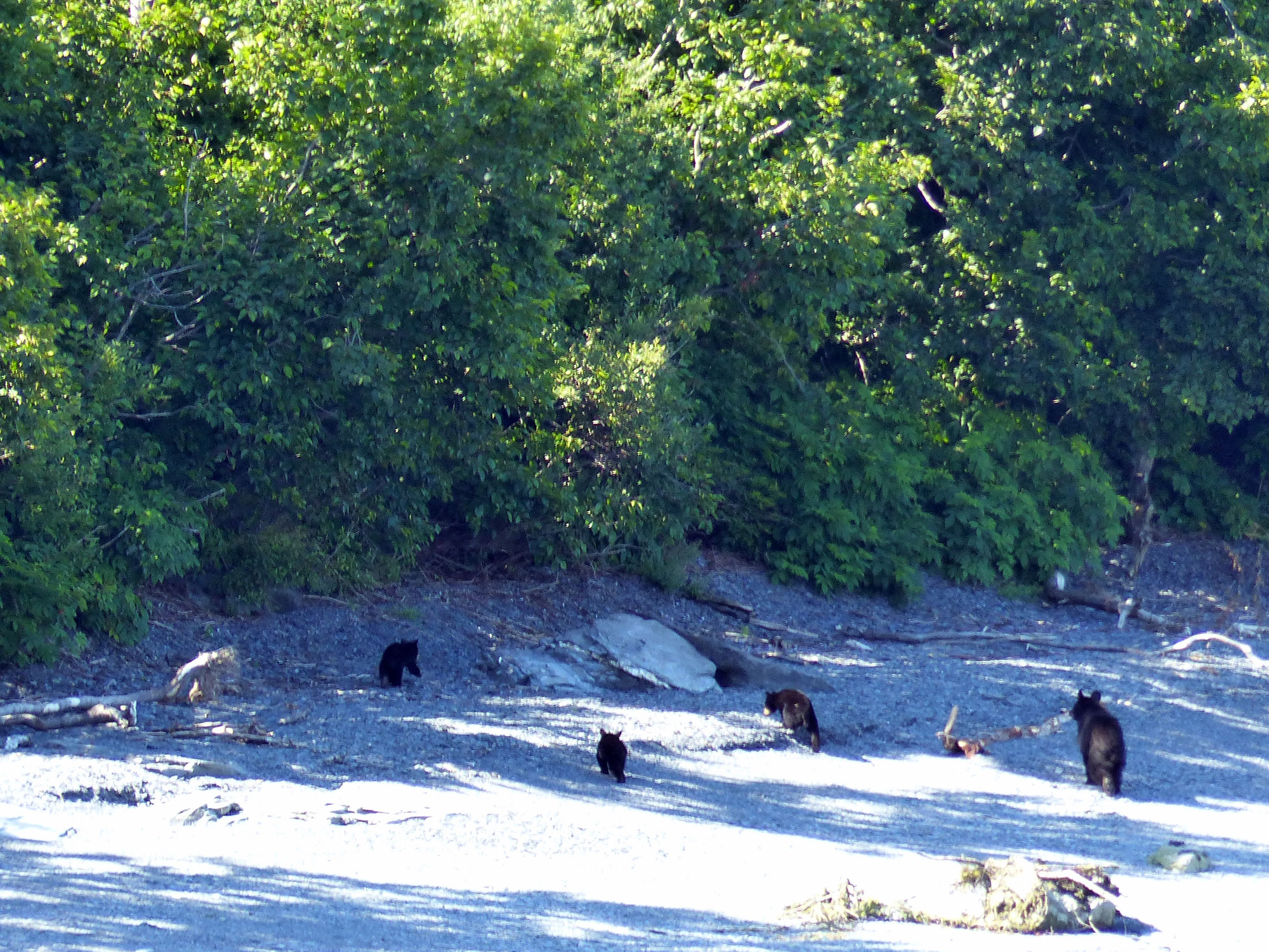
Moma and cubs
And here’s where salmon come from
7/26
Leaving Valdez in the rain

Abandoned Railroad Tunnel Entrance
Left Valdez in rain and headed towards Tok. On the way out of Valdez we stopped in Keystone Canyon at an old railroad tunnel which was hand cut into the solid rock of the canyon. The tunnel, which would have provided a short route from the copper mining area to the coast, was never completed because of a feud and gun battle. Later we stopped at Worthington Glacier which has shrunk considerably since 2003. Also, a quick stop at Wrangell-St. Elias National Park Visitor Center; very well done displays explaining the ecology, geology, topography and cultural history of the park. Outside the Center there was a full sized fishwheel built by Johnny Goodlataw, a local Ahtna Athabaskan elder; Fishwheels similar to this are ubiquitous on the Yukon and Copper Rivers. Camped in Sourdough Campground in Tok and, of course, had to have another Fast Eddy’s pizza.
Worthington Glacier – in 2003 the glacier front was about where the three people are (lower right)
Fishwheel

Fishwheel Diagram
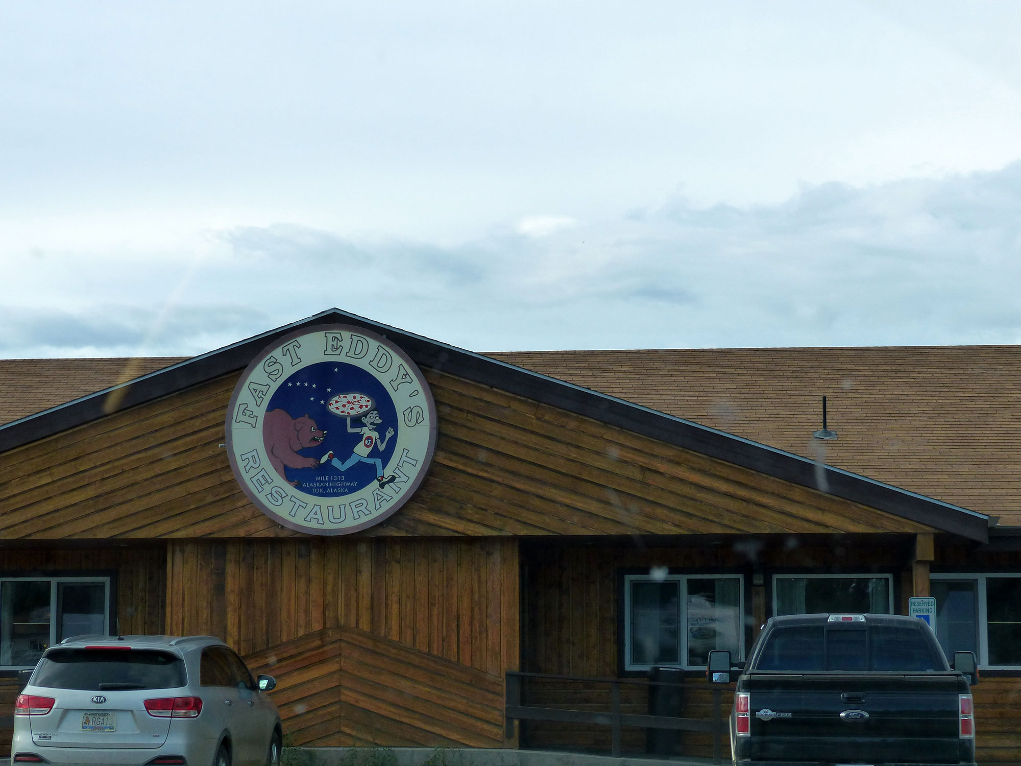
Fast Eddy’s
Seaton Roadhouse Pond
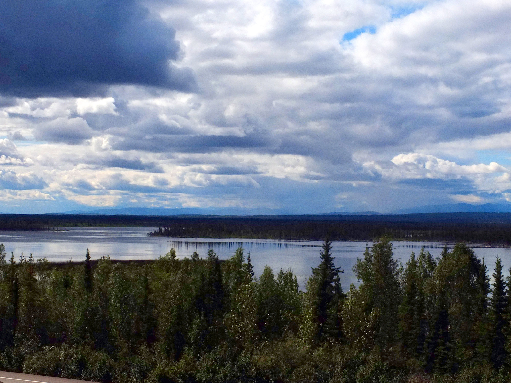
Midway Lake – Rt 2, Tetlin National Wildlife Refuge, AK
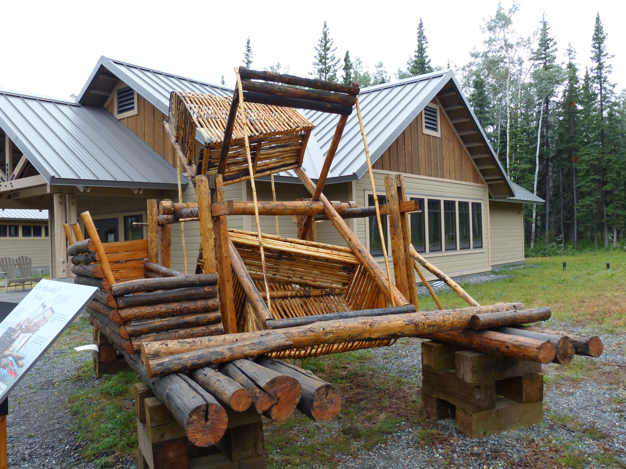
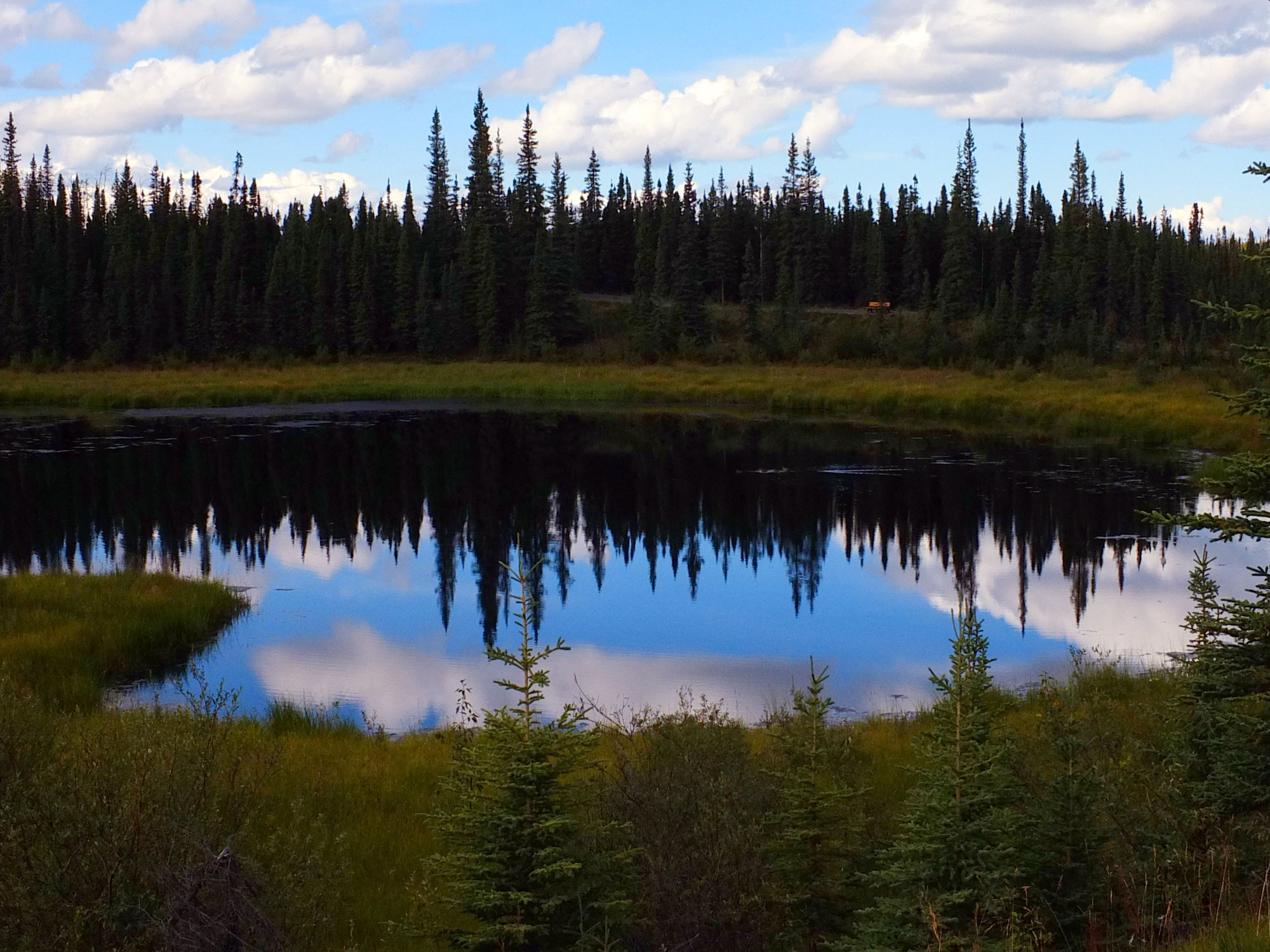
Tok to Lake Creek Government campground, YK. The Alaska Hwy (Rt 2) from Tok to Haines Junction was a horror – frost heaves, long stretches of washboard gravel sections. average speed 20 – 30mph. Stopped at the Seaton Roadhouse Interpretive Site; Bill and Irene Seaton ran the Roadhouse/service station, which was a popular dining and dancing establishment from the late 1940’s until 1966. We hiked around the very pretty pond looking for beavers but saw none.. Brief stop at the Tetlin National Wildlife Refuge Visitor Center which has exhibits and programs demonstrating and explaining the Athabascan culture.
Continued down Rt 2, saw a bald eagle in the Chisana (Shu-SHAN-ah) river valley, then the rains came. Camped at Lake Creek Government Campground, Koidern, YK.
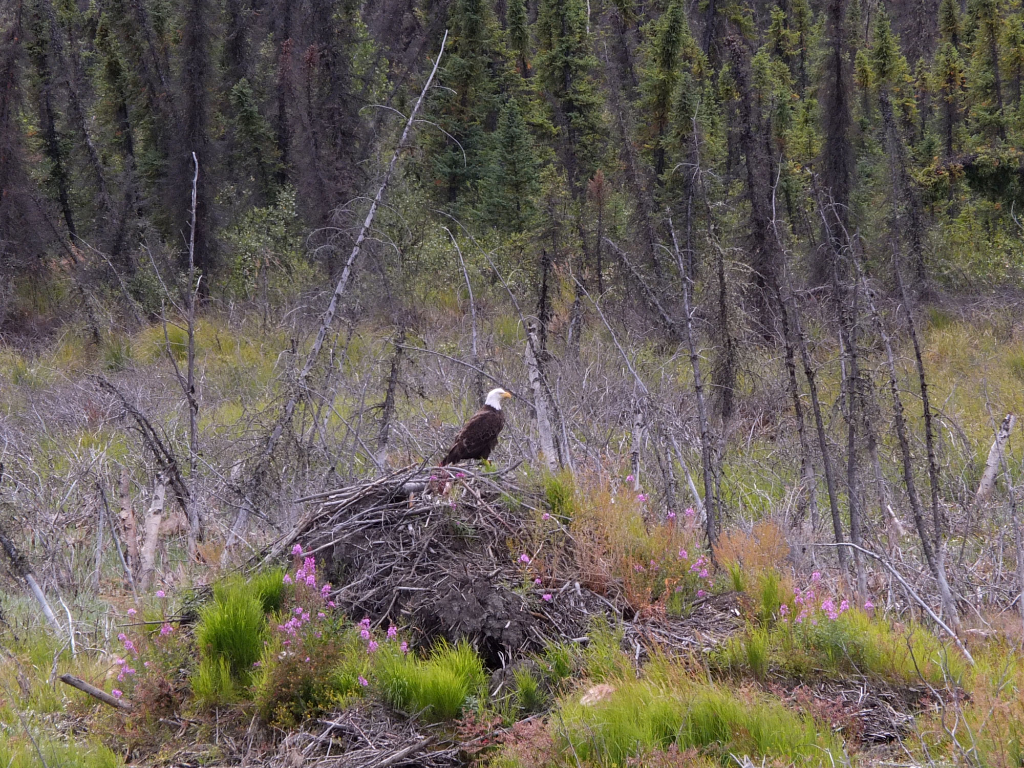
Bald Eagle – Chisana River Valley

Burwash Landing’s gold pan
Sculpture at the Tachal Dhal Visitor’s Center
A Drizzly day, continued on the Alaska Hwy and passed Burwash Landing with its “World’s Largest” gold pan. Stopped at the Tachal Dhal Visitor’s Center, at the southern end of Lake Kulane, in hopes of seeing dhal sheep on Sheep Mountain but, alas, no sheep. On to Haines Junction where we stopped at the Visitor’s Center and Museum. We had a nice talk with a First Nation tribal elder; she said they might have to start raising beef since the warmer winters ( it only got down to -37°F this winter!) was driving the moose and caribou further north so they couldn’t depend upon them for food. Down the Haines Hwy (Rt 3); stopped at the
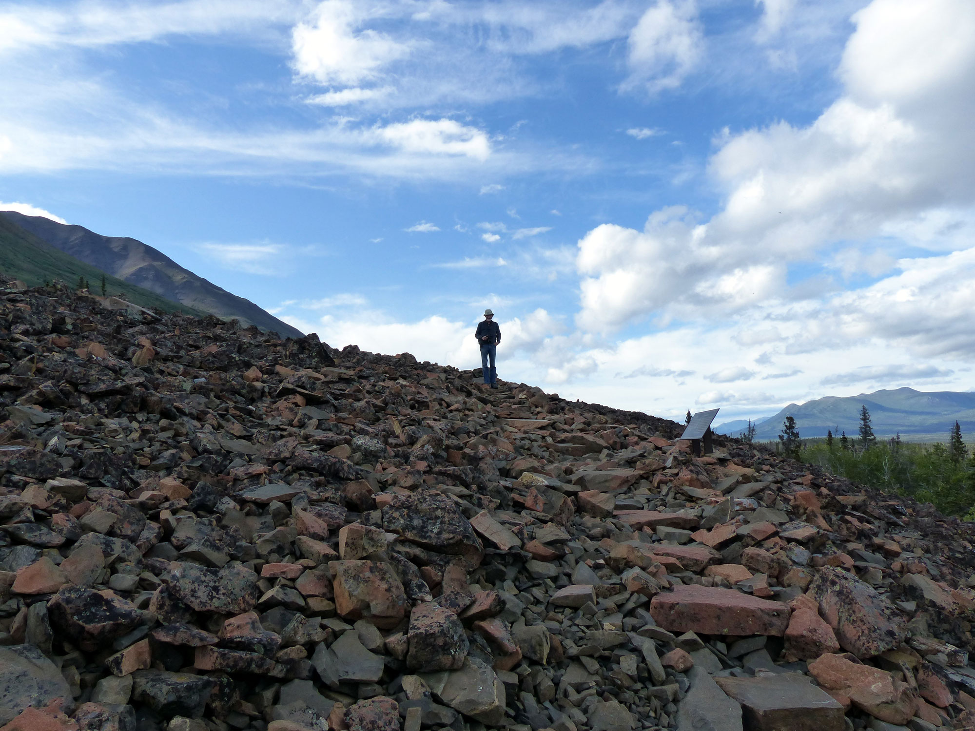
Ed on rock glacier
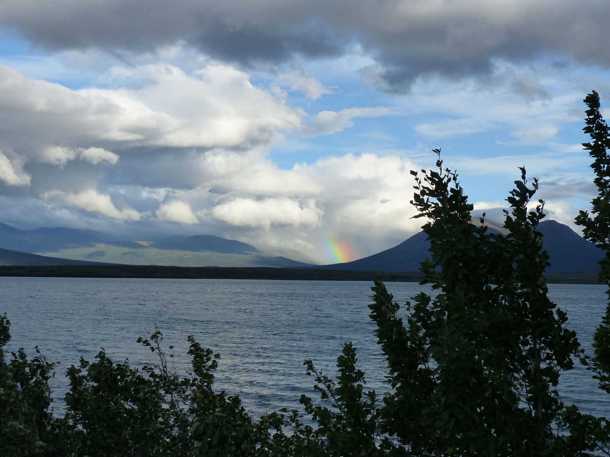
Rainbow – from Dezadeash Lake campsite
Rock Glacier Trail and walked to the glacier. Rock glaciers are formed when a glacier becomes covered by rock (talus) which falls from adjacent mountains. If the glacier begins to retreat, the overlaying talus is deposited and becomes a rock glacier. Camped at Dezadash Lake campground – beautiful, right on the lake with great views but very windy.
7/29
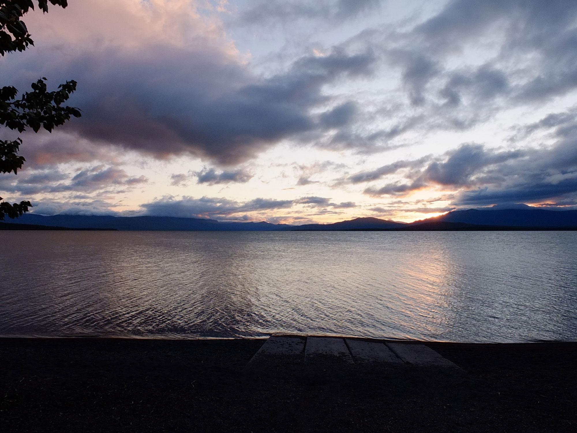
Sunrise – Dezadeash Lake Campground, Haines Hwy, YK
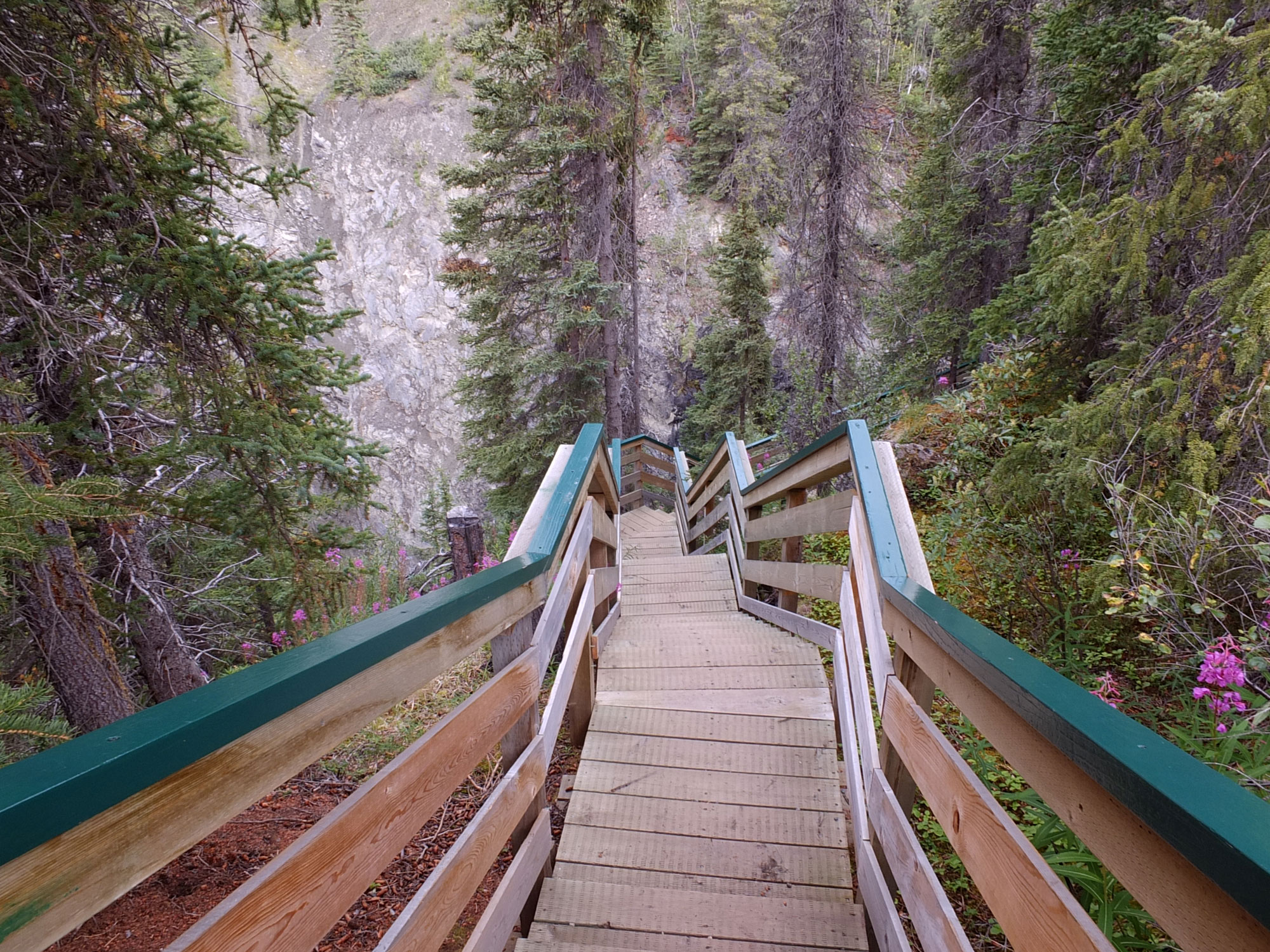
Stairway down to Million Dollar Falls
Another gray, drizzly day but with a pretty sunrise. Continued down the Haines Hwy and stopped at Million Dollar Falls on the Takhanne River. Hiked down the steep stairs into the gorge to view the spectacular falls; unfortunately, the view points were so restricted that there was no way to get a picture that did justice to the splendor.
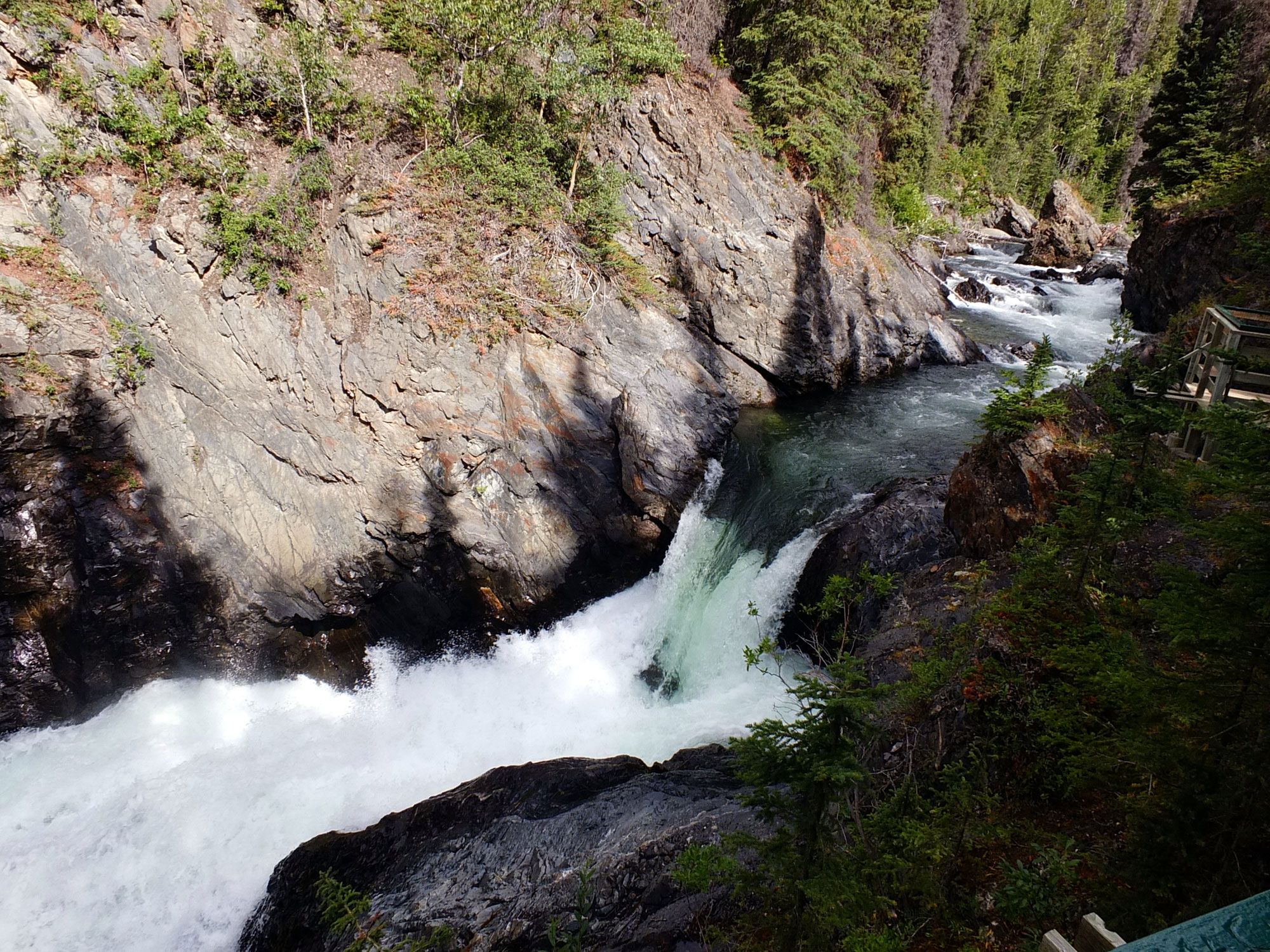
The upper falls
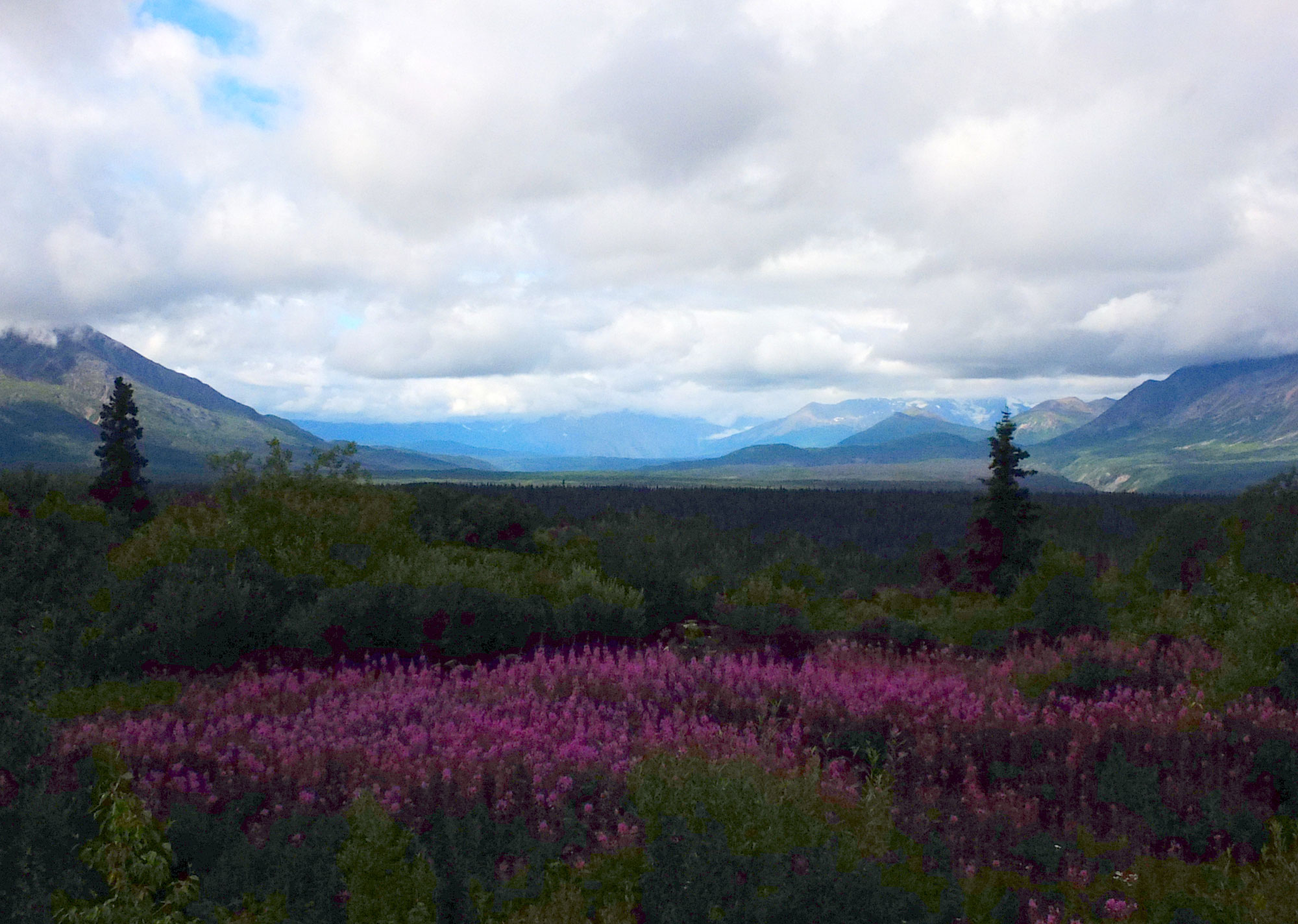
Kulane Range – Haines Hwy south of Dezadeash Lake, YK
The drive through the Chilkat Pass was spectacular even with the rain and fog. Stopped at the Dalton Cache, AK US Customs House to view the original trading post built by Jack Dalton in 1896. Continued along the Chilkat River into Haines and camped at the Haines Hitch-Up RV Park, one of the best maintained commercial parks we have stayed at , it’s obvious that the owners take great pride in the park’s appearance.
Jack Dalton’s Trading Post
7/30 – 7-31
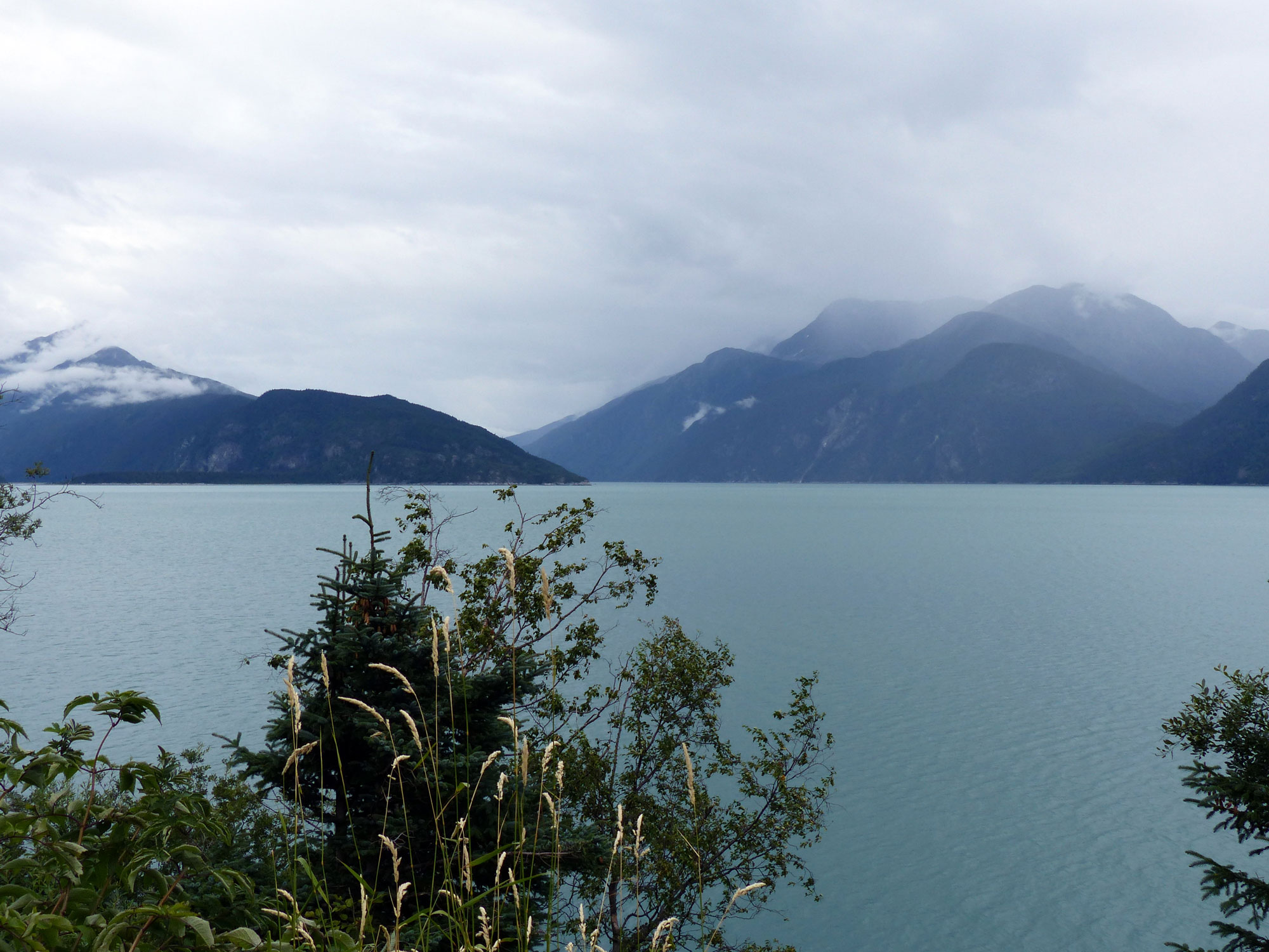
View of Lynn Canal – from Haines
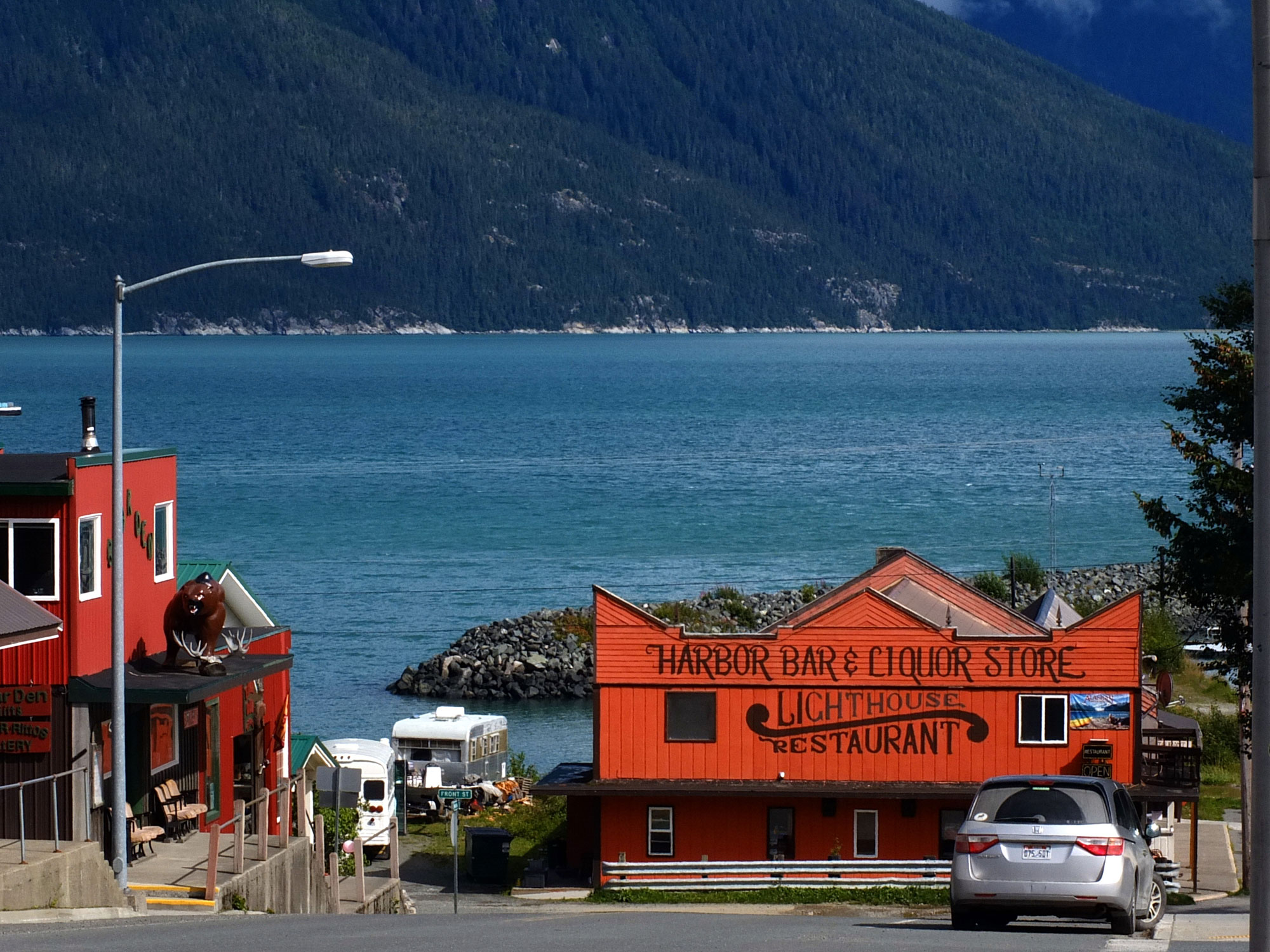
Haines Harbor – from Main St
Haines is a gorgeous little town (population about 2500) situated on the picturesque Chilkoot Inlet of the Lynn Canal – one of the longest and deepest fjords in the world. Haines harbor, however, is too shallow to allow the huge cruise ships to dock and thus the town has been fortuitously spared the mass inundation of tourists which has turned Skagway into horror. Haines is home to an unusually large number of artists, sculptors, authors and other creative types who relish Haines’ seclusion.
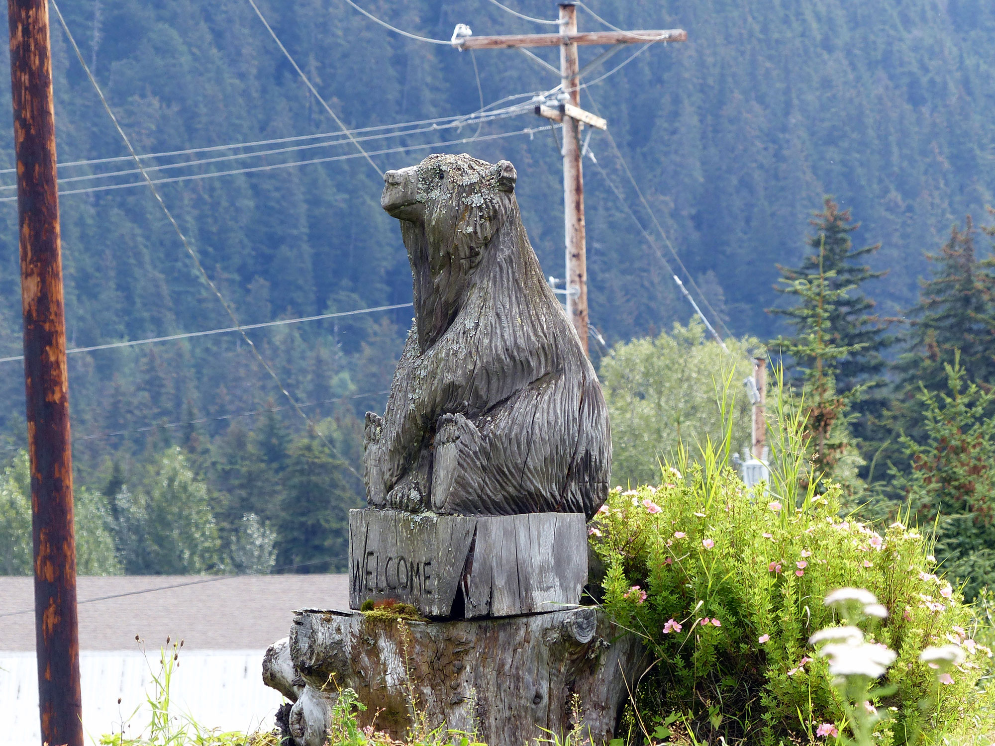
Wooden Bear

Sheldon Museum Exhibit
Among the many fine small galleries and museums the Sheldon Museum and the Hammer Museum stand out. The Sheldon Museum collects, preserves and interprets the history, art and cultures of the Chilkat Valley region; there are two galleries which exhibit the native and non-native settlement of the area and cover all aspects of Tlingit Native Culture.
Dave Pahl, whom the Smithsonian Institution considers the leading authority on hammers, started the Hammer Museum, which contains over 7500 hammers (only 1500 are on display), in 2002. . It is a delightful display and the intern, Alia, who was infectiously bubbling with enthusiasm and knowledge enthralled us for more than an hour with stories about the various hammers.
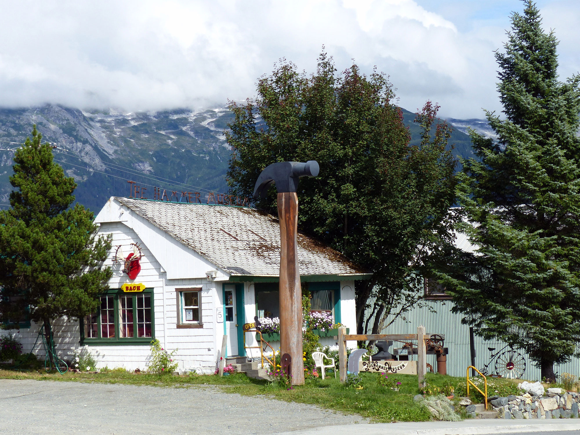
The Hammer Museum
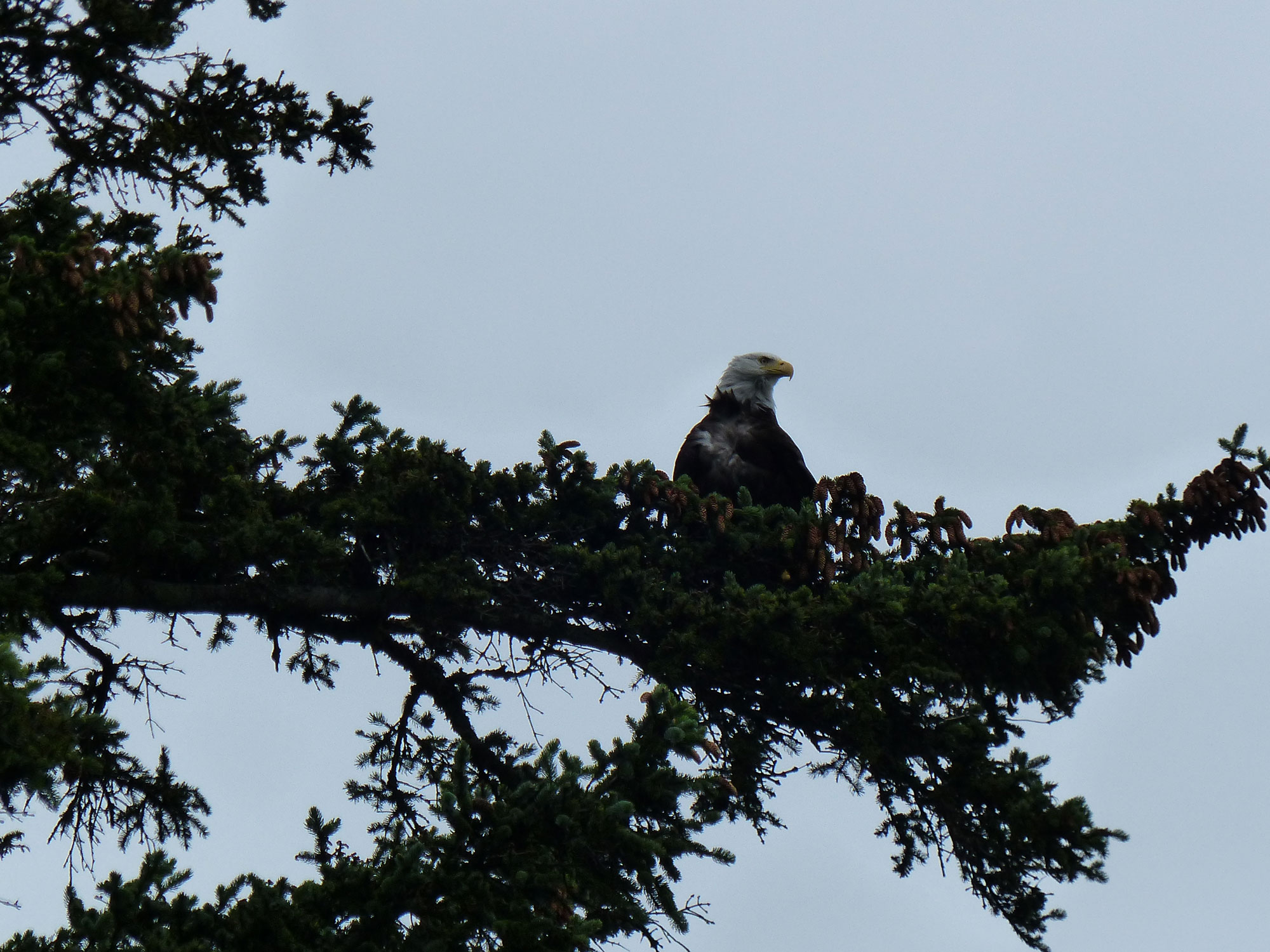
A Bald Eagle
Haines, and the Chilkat River Valley region boasts the world’s largest concentration of Bald Eagles. Each Fall more than 3500 Bald Eagles migrate to the area but even during our stay they seemed almost as abundant as sparrows.