8/2 – 8/5
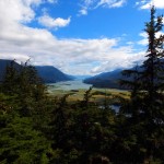
Gastineau Channel looking towards Juneau – from Thunder Mountain
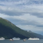
3 of the 5 Behemoths in Juneau Harbor
Juneau sits at the base of Mt Roberts, abutting the Gastineau Channel and because of the steep slope the city has mostly spread horizontally along the shore of the Channel rather than up the face of the mountain. The streets are quite narrow and parking, especially for our truck, is horrifically limited. Juneau’s main business is tourism and since it’s harbor can accommodate up to 5 cruise ships, each with 4000 – 6000 people, business booms. While we were there all the berths were filled with these behemoths and the downtown area resembled Times Square on New Year’s Eve.
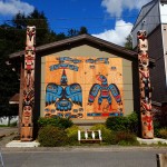
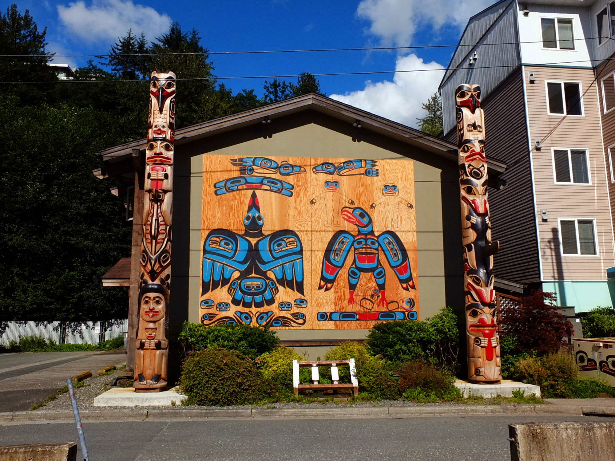
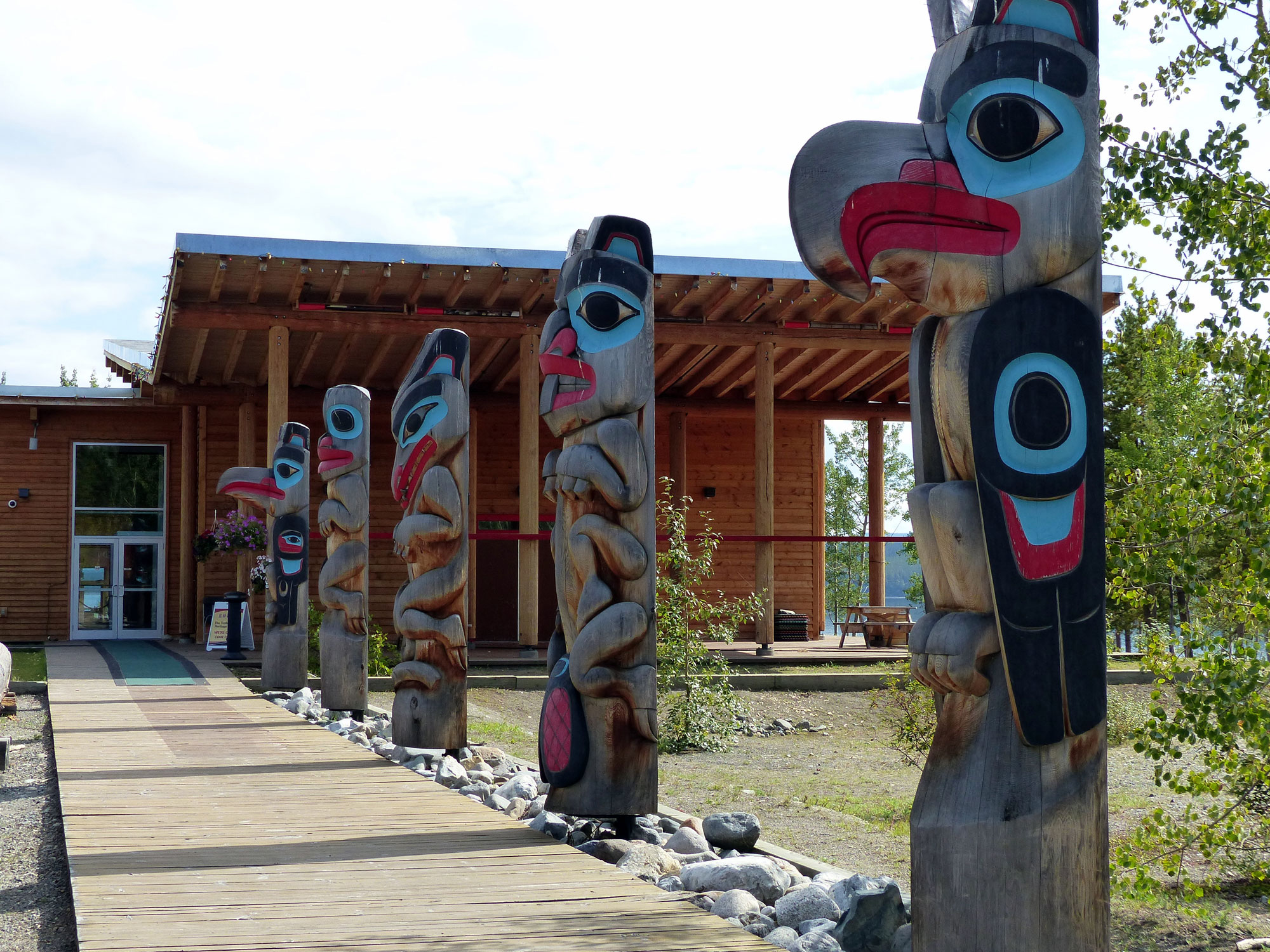
Tlingit Community Center
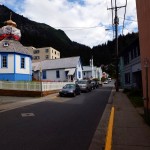
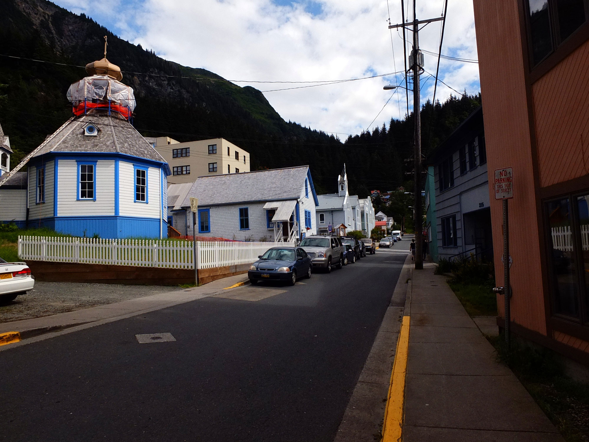
St Nicholas Russian Orthodox Church
Away from the tourist areas, ie: further up the slope of Mt Roberts, Juneau exhibits it’s cultural history. The Tlingit Community Center – Gajaa Hit (Tlingit for “a safe place to land”) displays two gorgeous totem poles with a wall screen between them. The St Nicholas Russian Orthodox Church, which is currently undergoing reconstruction, was built by the Tlingits in 1893; the Tlingits embraced the Orthodox Church because it used native languages in worship and taught Native Alaskans to read and write in their own language.
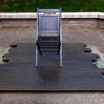
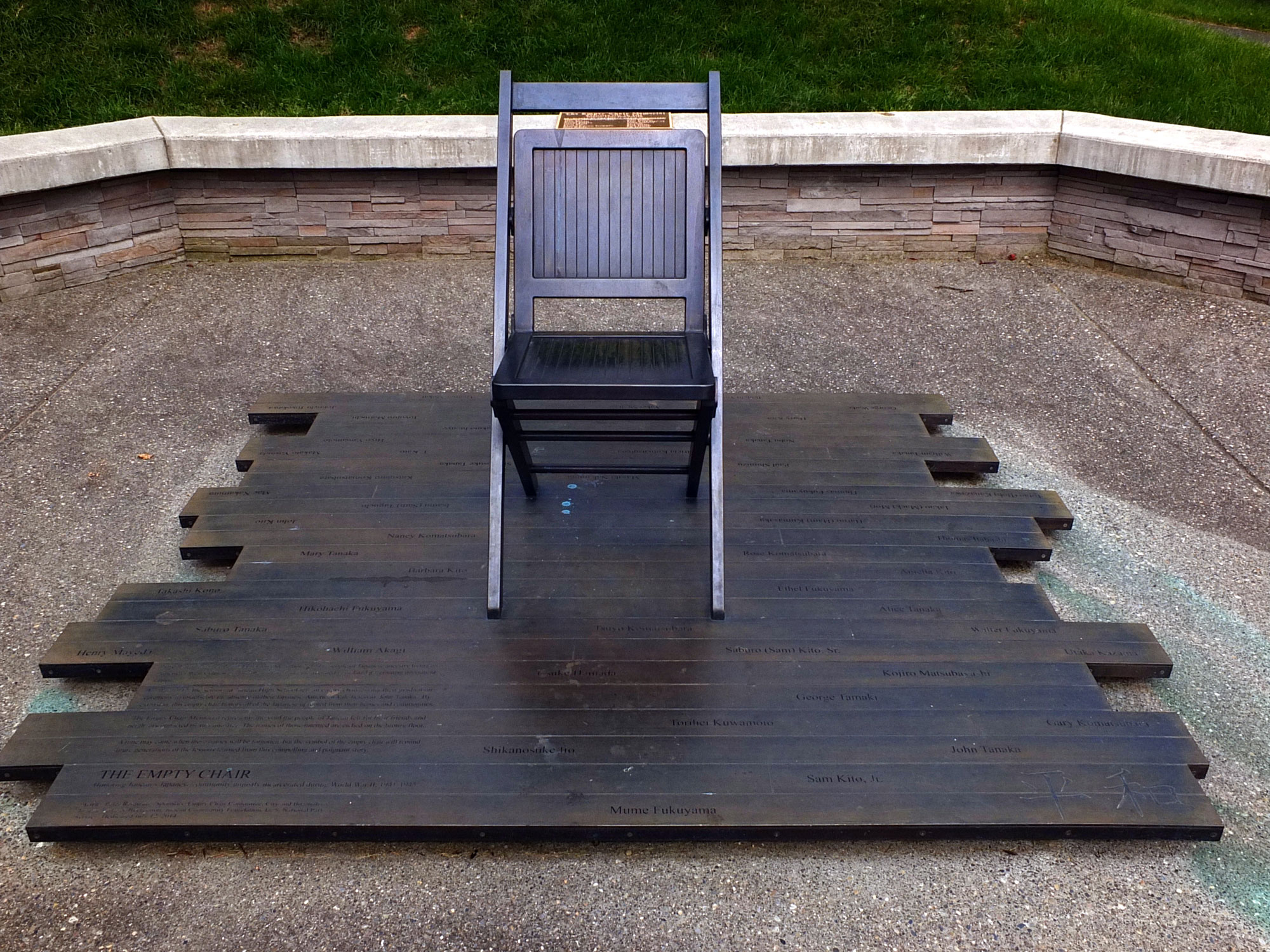
The Empty Chair Memorial
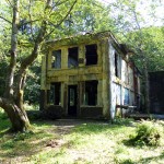
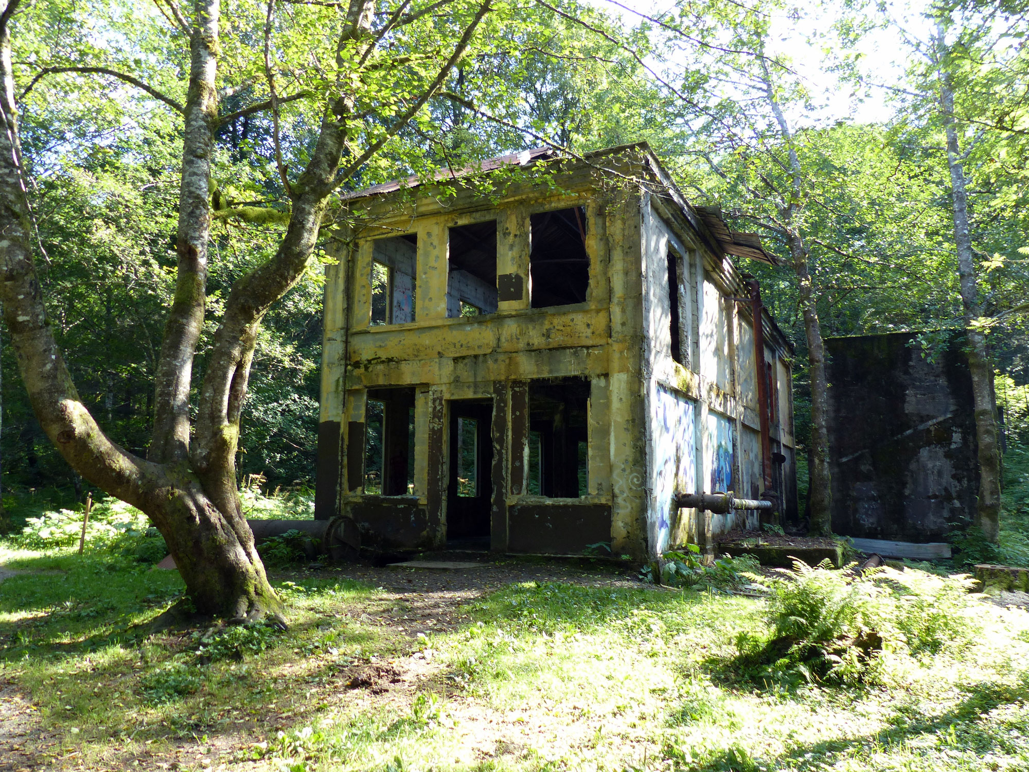
Treadwell Steam Plant
Several blocks further on is the Empty Chair Memorial which represents the void the people of Juneau felt for their friends and neighbors unjustly incarcerated during WWII. The Memorial commemorates the action of the 1942 Senior class of Juneau High School which left an empty chair at their graduation ceremony in honor of their incarcerated Japanese-American Valedictorian, John Tanaka.
Douglas Island, across the Gastineau Channel from Juneau, houses the site of Treadwell, one of the worlds most innovative and efficient gold mining operations in the late 19th century – producing more than 1 million pounds of gold over four decades. Treadwell also incorporated advanced socio-economic amenities, for its more than 2000 residents, including subsidized housing and health care, a school, tennis courts, baseball field, indoor pool and a clubhouse open to all. The complex was shut down in 1917 after an extremely high tide flooded three of the four mines and collapsed the complex system of tunnels causing surface cave-ins which destroyed many of the buildings.
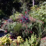
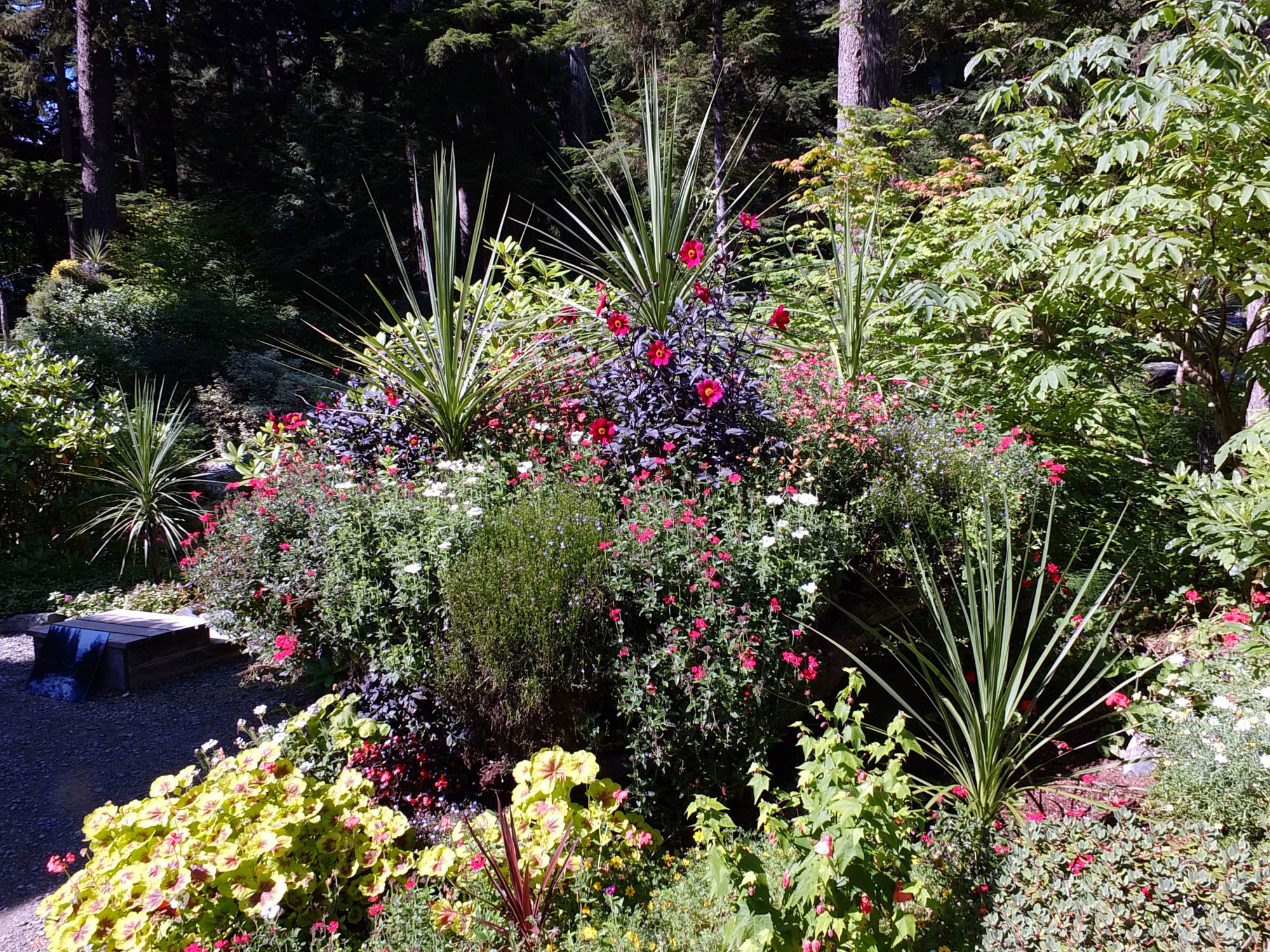
A Formal Garden – Glacier Gardens
Most of our time in Juneau was spent in the outskirts. We visited Glacier Gardens, a facinating place which just manages to cling onto the side of Thunder Mountain. The garden was started, and is still run by Steve Bowhay. The remarkable aspect of the Gardens is that almost all of the cultivated plants on this 50 acre plot are temperate or tropical and thus must be planted each spring and dug up and wintered over in hothouses each fall, a mind boggling task.
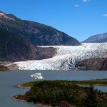
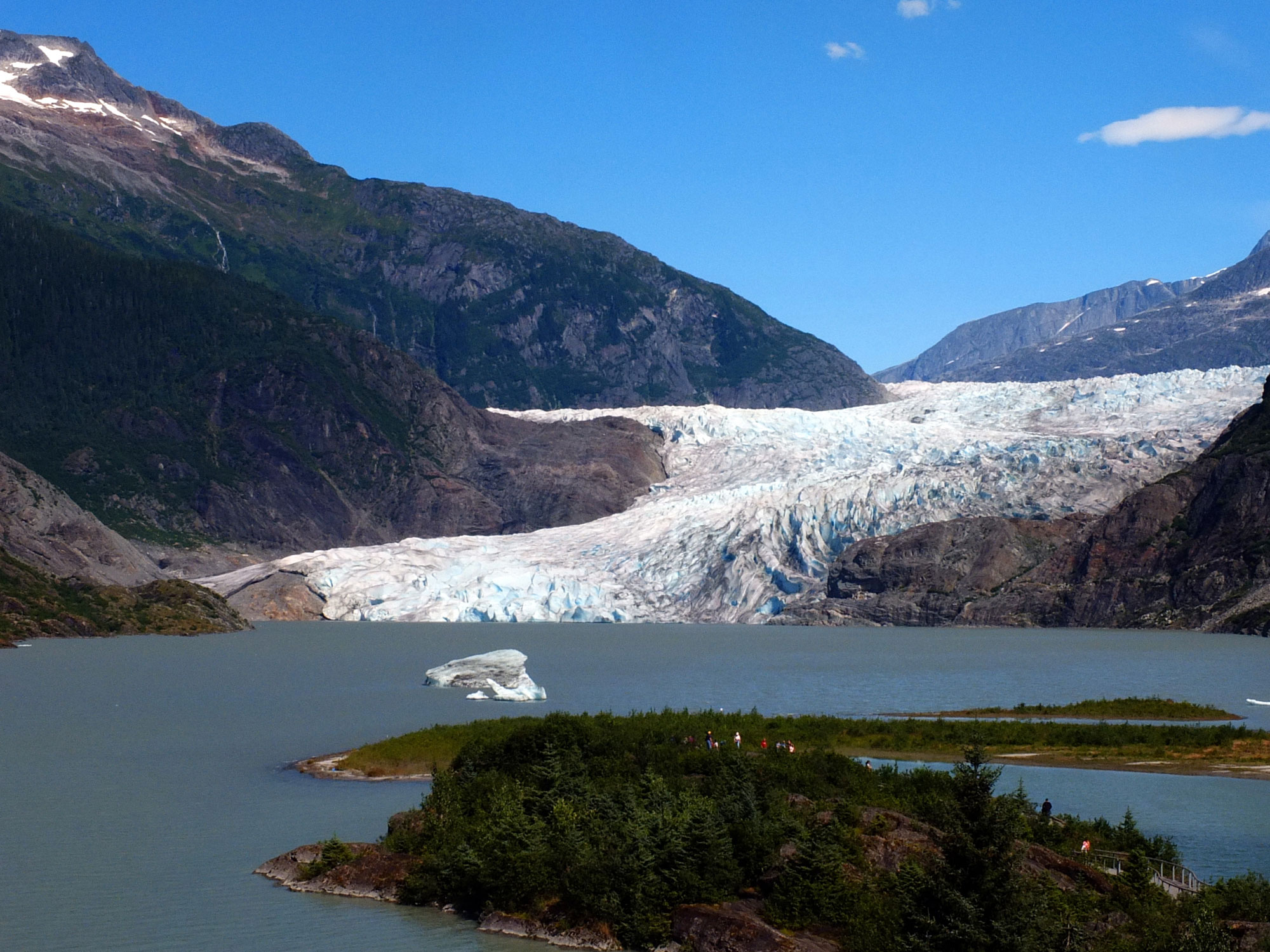
Mendenhall Glacier
We went out to the Mendenhall Glacier, which is about 10 miles north of Juneau. The glacier as well as the Juneau Icefield, which feeds it is shrinking dramically – the icefield is losing about 3.5 cubic miles of ice each year. However, the glacier is still impressive and we quite enjoyed hiking some of the trails in the park.
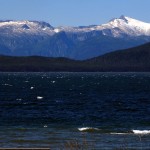
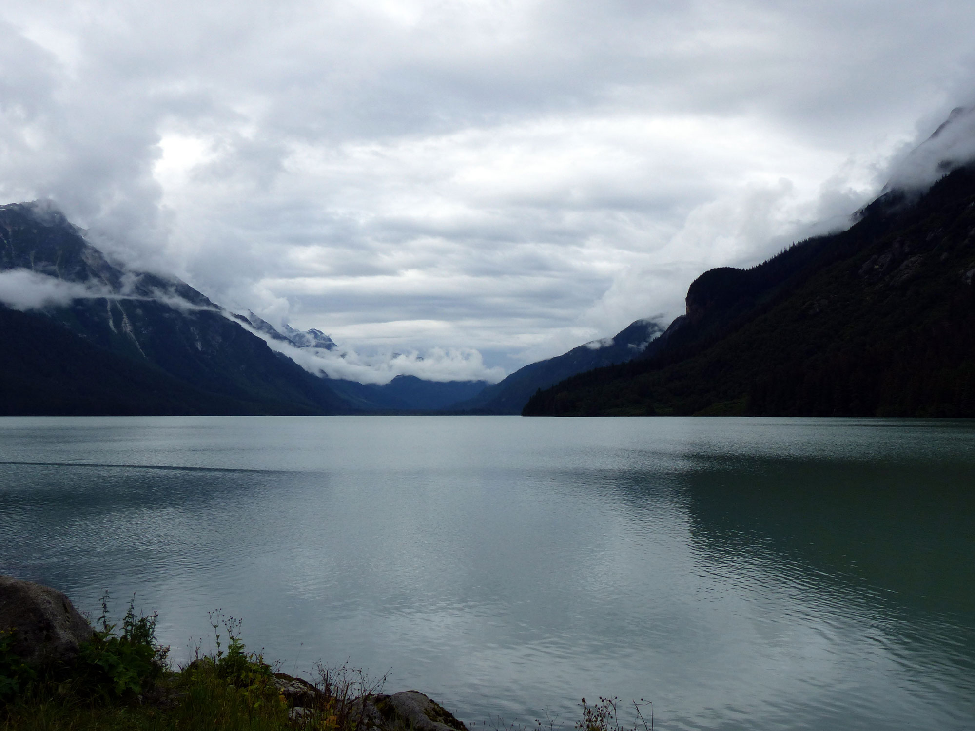
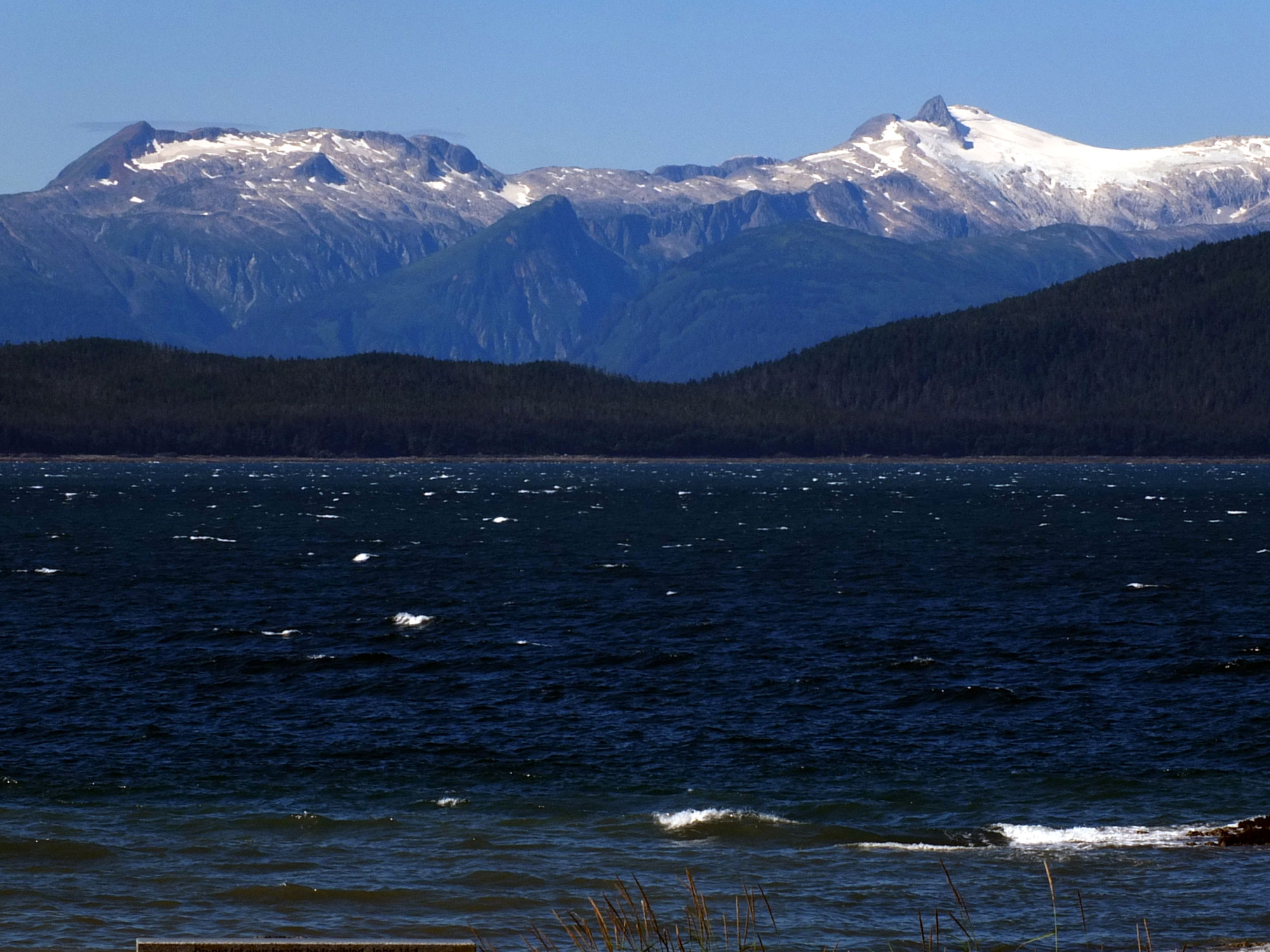
View Across Lynn Canal – from Shrine of St Therese
We also drove north along the Glacier highway to it’s end stopping along the way at the Shrine of St Therese which has a spectacular view of the Lynn Canal and, reportedly, a great place to see whales, although none appeared while we were there.
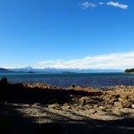
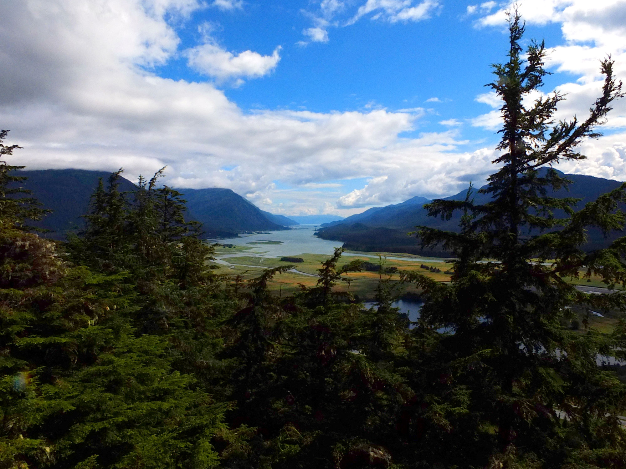
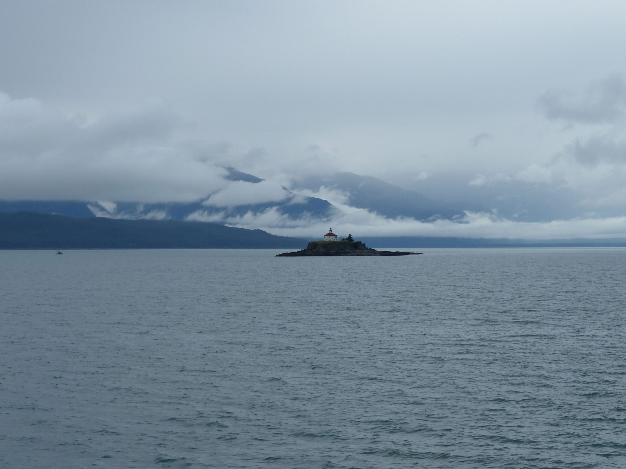
View across the Lynn Canal – from Ernest Gruening Historic Site
Further along the highway we stopped at Eaglerock, the residence of Ernest Gruening, Alaska’s last Territorial Governor and first State Senator.
More Photos